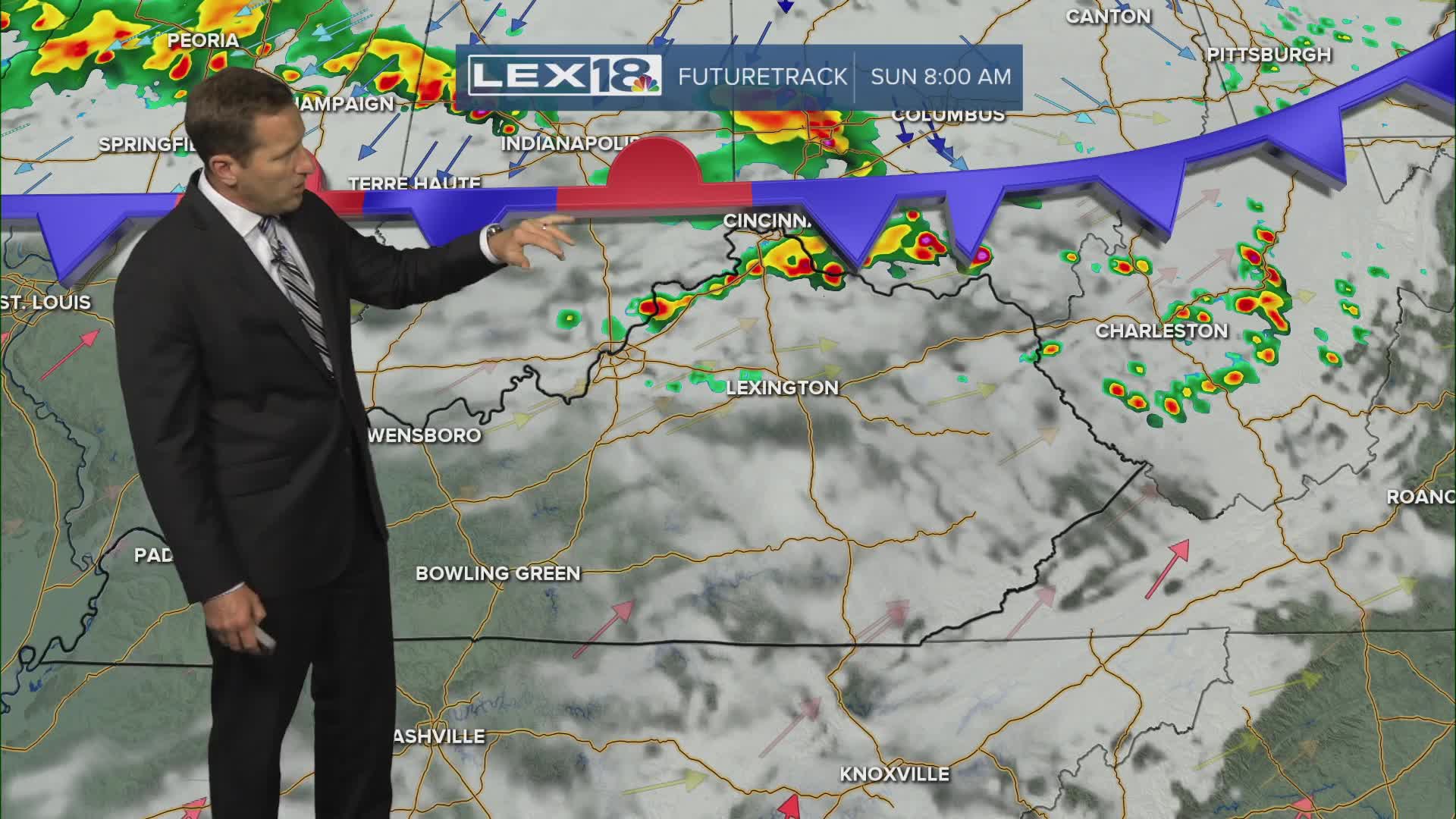


Active weather continues into the weekend with a stalled front to our north and very warm and humid air still blanketing the Commonwealth. Expect showers and strong storms that will produce gusty wind and heavy rain, mainly from late in the morning into the afternoon. With recent rounds of heavy rain, localized flooding will remain a threat. A flood watch remains in effect in the Bluegrass Friday morning but goes through Friday evening southeast. Rounds of showers and storms will keep going on and off Saturday into Sunday. Highs will stay in the mid to upper 80s with muggy air keeping the heat index in the low to mid 90s at times.
Active Weather Continues into the Weekend
Rounds of Showers, Storms and Heavy Rain
