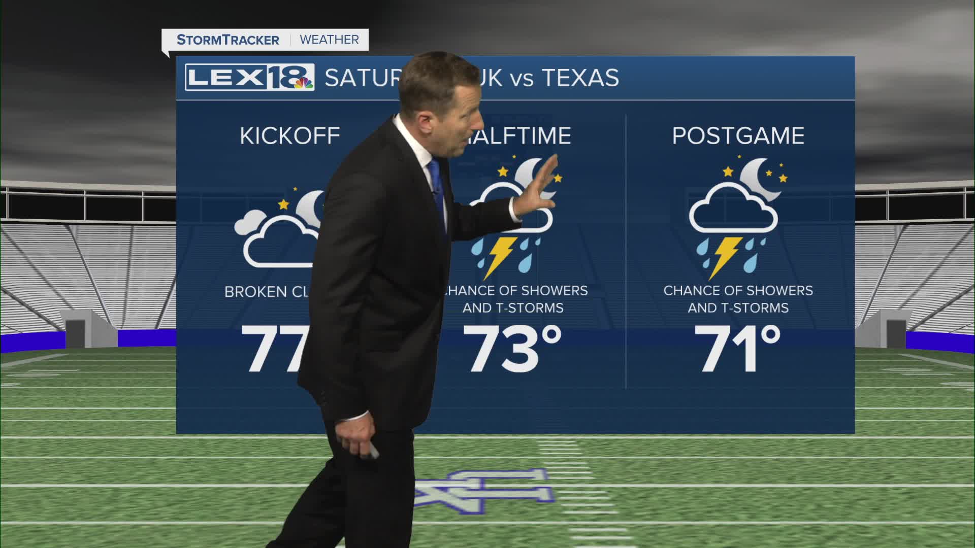


Buckle up, we have an active weekend on the way! Friday will start off tranquil and very nice with plenty of sunshine and highs in the low to mid 70s. A strong southwest flow sets up Saturday ahead of an approaching front. This will send highs soaring to the low to mid 80s and ramp up cloud cover and moisture. A few late day showers and storms are possible, but the main rounds of widespread showers and storms will develop Saturday night and continue into Sunday. The main severe storm threat is well to our west/southwest but watch for strong to isolated severe storms (damaging wind) and locally heavy rain. Sunday will be gusty (30 to 40 mph) and much cooler with highs falling to the upper 60s. If you're heading out to Kroger Field Saturday evening, take wet weather gear as a precaution.
An Excellent Start to the Weekend
But Showers, Storms and Gusty Wind Likely Saturday Night, Sunday
