

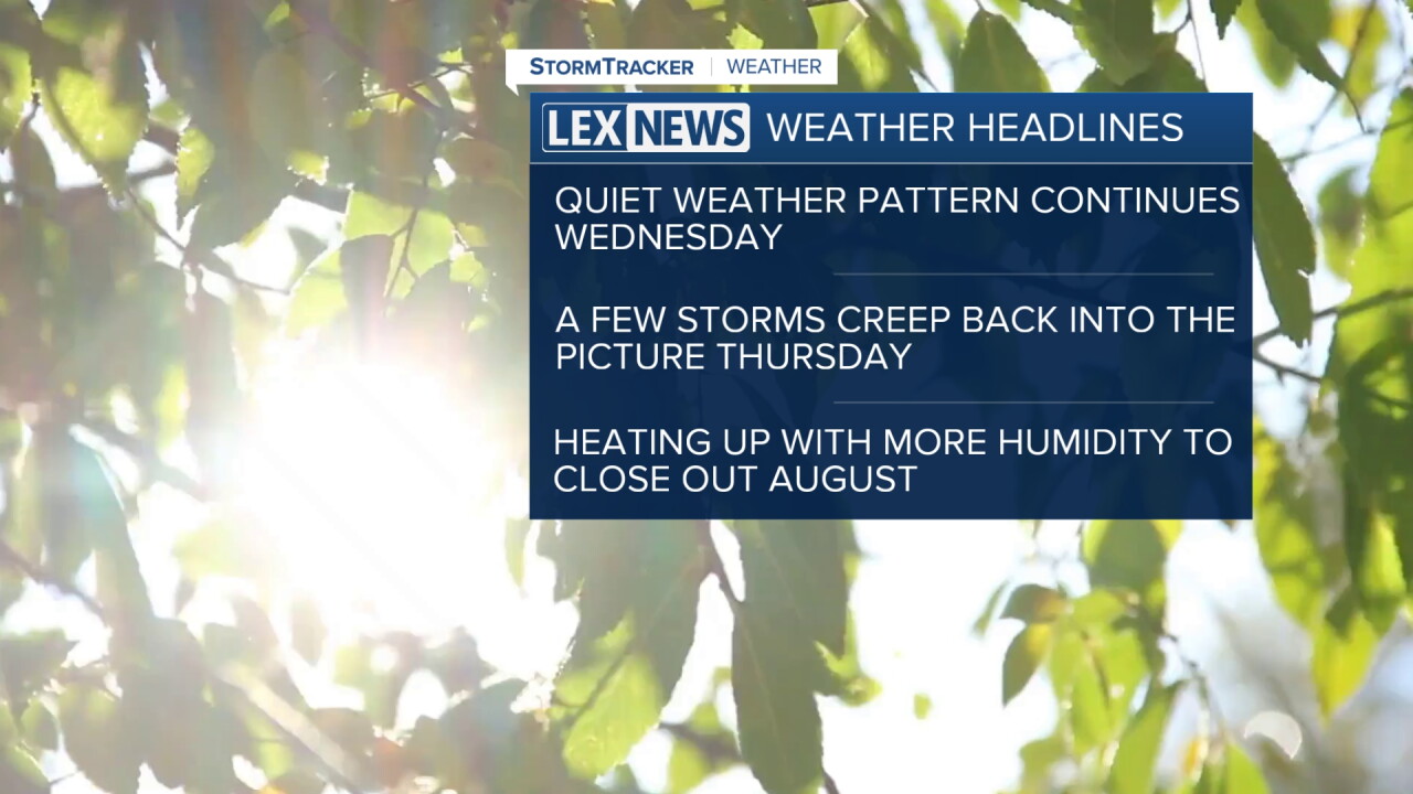


We've enjoyed just a delightful run of pleasant weather days so far this week across Central and Eastern Kentucky with sunshine, comfortable high temperatures and most importantly low humidity levels. After another pleasant morning Wednesday with temperatures starting into the upper 50s, look for another dry day with sunshine and a few scattered clouds late as afternoon highs climb a few degrees into the mid to upper 80s so enjoy the dry weather while it lasts.
We've got some changes on the way into Thursday as a slow moving cold front drops into the Ohio Valley. Some of the data is indicating a cluster of thunderstorms may develop into early Thursday and possibly impact the morning commute in a few spots. The front will slowly work through the commonwealth, keeping the chances for a few storms around through the day. The overall severe threat is low, although areas east of Lexington have a low-end Level 1 severe risk with some gusty to damaging winds possible.
Once the front clears the area, we should be in much better shape and back to dry conditions for Friday and into the upcoming weekend. The bigger story will be a return of some warm to hot air for the final weekend of August. Afternoon highs will climb back into the upper 80s this weekend so keep that in mind for any outdoor plans you may have. It will feel like the end of August and beginning of September early next week with low-90s returning for highs along with a bit of humidity, although the heat index values should be as oppressive as what we dealt with a few weeks ago. Have a great Wednesday!
