

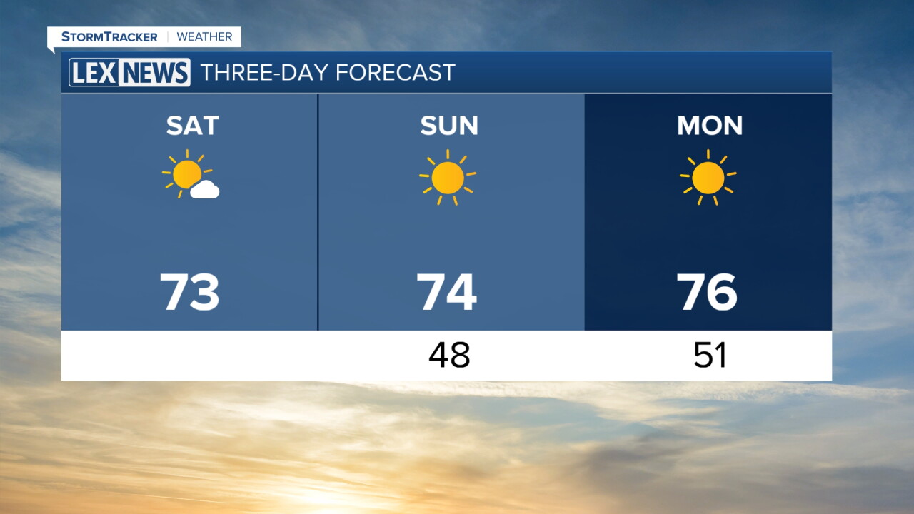


We are starting off pretty chilly across Central and Eastern Kentucky this Saturday morning. Temperatures have fallen into the low to mid 50s for many of us, with even a few upper 40s showing up across the area.
A few clouds have moved through overnight and early this morning, but those will gradually clear as we go throughout the day. That will leave us with plenty of sunshine and some great fall weather this afternoon.
Plenty of Sunshine This Afternoon
Once the morning clouds clear, mostly sunny skies will take over for the rest of Saturday.
Afternoon highs will reach the low to mid 70s across much of the area, similar to what we saw Friday. Lower humidity will make it feel even more comfortable, and we'll remain completely dry.
If you have any outdoor plans, it's shaping up to be a great afternoon to get outside and enjoy the weather.
Another Cool Night Ahead
Clear skies and comfortable conditions will continue into Saturday night.
Temperatures will cool back into the low and mid 50s by early Sunday morning, making for another chilly start to the day.
More of the Same Sunday
Sunday is essentially a copy and paste of Saturday's forecast.
High pressure will remain in control, keeping us dry with plenty of sunshine and low humidity. Afternoon temperatures will climb into the mid to upper 70s, making for another beautiful fall day.
Warmer Weather Returns Next Week
The quiet weather will continue into the beginning of next week, but temperatures will gradually begin warming.
Highs could return to the 80s by Tuesday and climb into the mid 80s around the middle of the week. Humidity will also slowly increase as warmer air moves back into the region.
Our next weather system is expected to arrive around Wednesday and Thursday, bringing our next opportunity for showers. Some rain chances could linger into Friday before the system completely moves through.
 Facebook
  TikTok
  YouTube
 Instagram
 Threads
 X
X