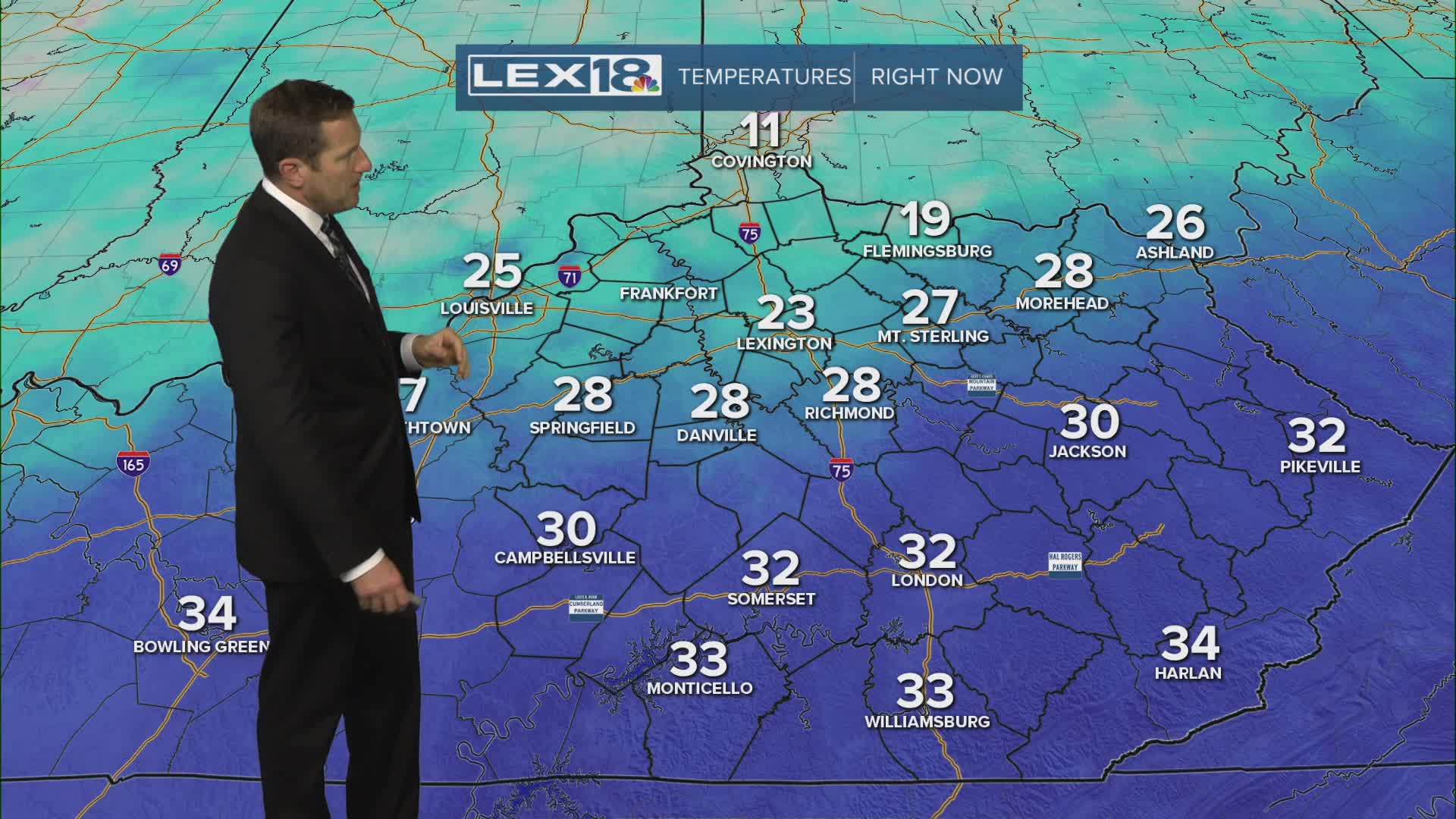


That overnight shot of light snow and mixed precipitation added insult to injury, a fresh coating of wintry precipitation on our existing slab of snow and ice from late January. We'll stay cloudy and cold Wednesday with isolated snow showers and flurries. Expect highs in the mid to upper 20s in the Bluegrass and closer to freezing southeast. A strong northeast wind will keep the wind chill in the single digits in the morning and teens later in the day. Roads will remain slushy to icy to slick and hazardous, but there is some good news. We'll see some sunshine Thursday and with highs in the 30s this weekend and 40s, potentially near 50° next week, we'll really start to eat away at all that lingering snow and ice.
