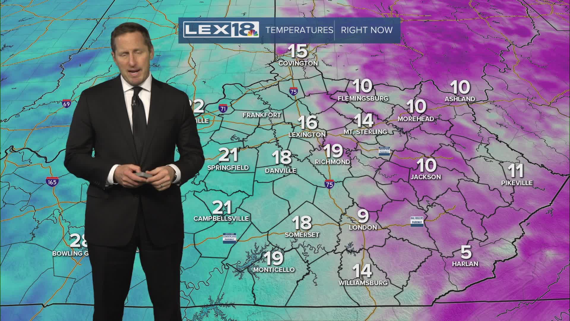
Welcome to February and the last month of meteorological winter! Monday will be mostly a mostly cloudy and gloomy Groundhog Day, with isolated snow showers early. But a southerly wind will push highs into the low 30s in the Bluegrass and mid to upper 30s south. Not exactly a heat wave, but certainly less cold. Low pressure spins in Tuesday, bringing a round of rain and snow, mainly in the afternoon and evening. Highs in the upper 30s in the Bluegrass and 40s southeast will limit the chance for accumulation but watch for a slushy inch or two north of I-64 with the highest totals across northern Kentucky. Southern counties will end up with rain and minor/light accumulation on the back end of the departing system. The rest of the week begins our late winter up and down temperature fluctuation, with highs alternating between above and below freezing.


