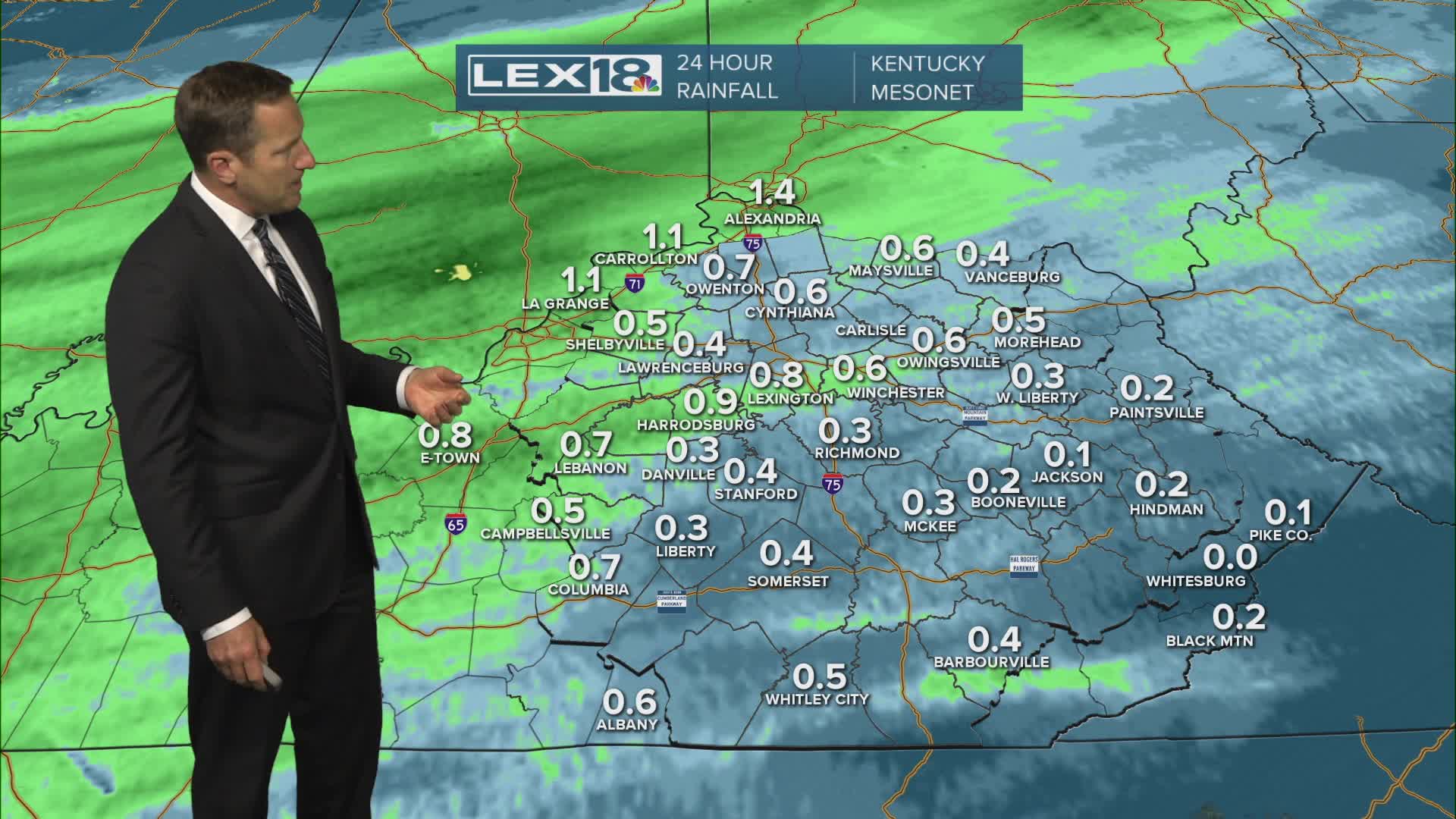


Morning showers and isolated storms will slowly fade with mostly cloudy skies and cooler highs in the low to mid 60s Wednesday. Watch for a second round of showers and storms that will clip the Bluegrass and mainly impact southeastern counties later in the day. Cooler, drier air filters in Thursday and even with afternoon sunshine, highs will only top out around 60°. Mostly clear skies and calm wind will lead to patchy frost potential Friday morning with lows in the mid to upper 30s.
Cooling Down as Showers Linger Midweek
Patchy Frost Possible Friday Morning
