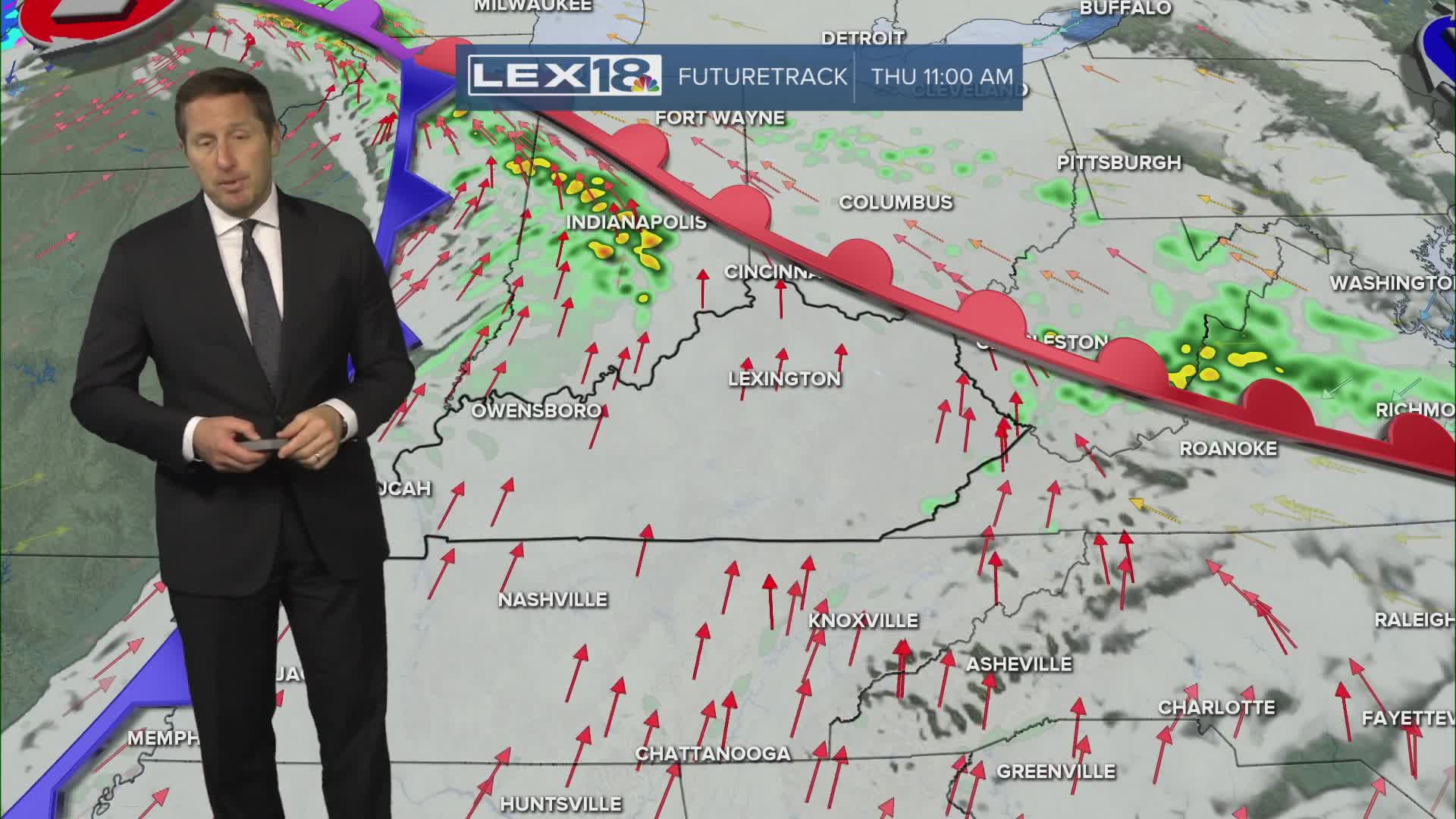


Our warm surge picks up steam Tuesday with a gusty south wind, increasing clouds and highs soaring to the low to mid 60s. Wednesday will stay mostly cloudy, windy and unseasonably warm with highs in the mid to upper 60s, but watch for a few showers. We're keeping an eye on a cold front that will spark widespread showers and strong storms (damaging wind) Thursday, mainly in the afternoon and overnight. This will be the beginning of a weekend temperature drop with much colder air inbound through early next week.
Even with Increasing Clouds Tuesday, the Warm Up Continues
Showers, Storms and Colder Air Inbound Later this Week
