

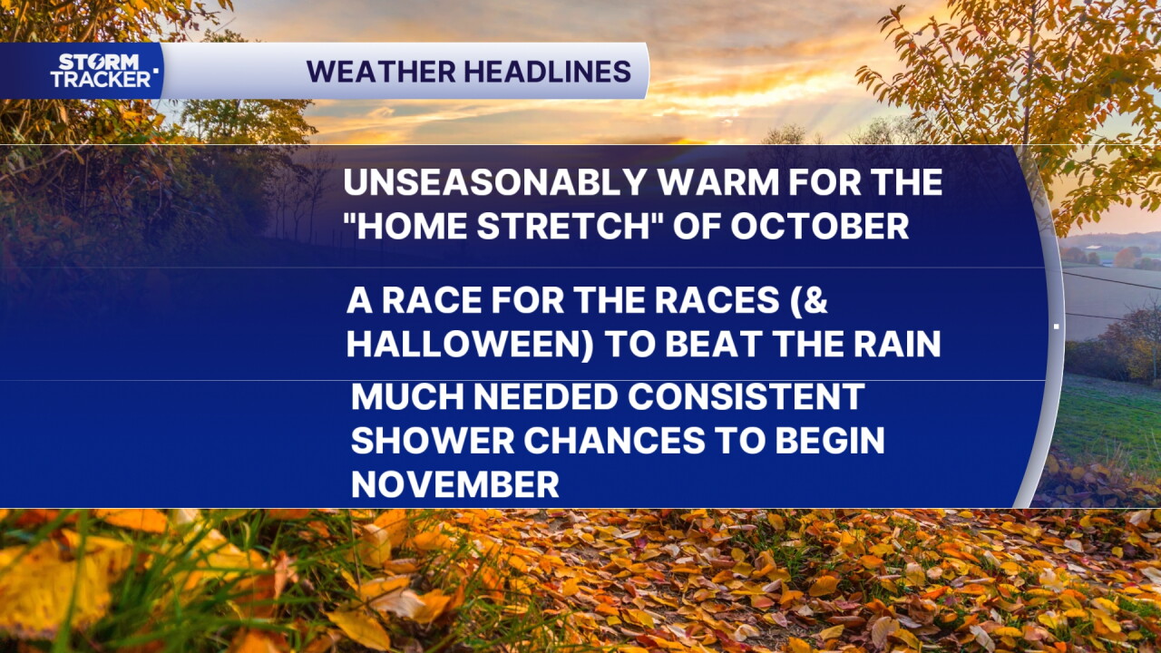


After a beautiful start the week weather-wise on Monday across Central and Eastern Kentucky, which was a continuation of the extended and incredible stretch of dry and warm conditions, look for more of the same rolling through Tuesday and beyond. The only thing you may have noticed is a few high, thing clouds filtering the sunshine out but that's about it. After a cool start, look for another warm October day with afternoon highs back into the mid-70s.
Other than a few high, thin clouds that will filter the sunshine out slightly at times during the day, the warm and dry conditions should be hanging around as we hit the "home stretch" for October and roll toward the Breeders' Cup races on Friday and Saturday at Keeneland and Halloween on Saturday. The big story will be the unseasonably warm air, even by late October standards with afternoon highs climbing into the mid to upper-70s. Remember our average highs are dropping into the low-60s so we'll be a solid 10 to 15 degrees above the curve into the late week so enjoy that.
Looking ahead to the critical time frame of Friday and Saturday with all the big events going on along with Halloween, the concern the last few days is for the potential for a return of showers to the area. The latest data continues to indicate that the best chance for rain will hold off until Saturday night with the bulk of the wet weather arriving as we flip the calendar to November into Sunday and Monday. We could end up with some soaking rainfall and decent rain totals, which is a good thing given the dry conditions of late. Enjoy the dry and warm conditions while they last.
 Facebook
 TikTok
 YouTube
 Instagram
 Threads
 X
