

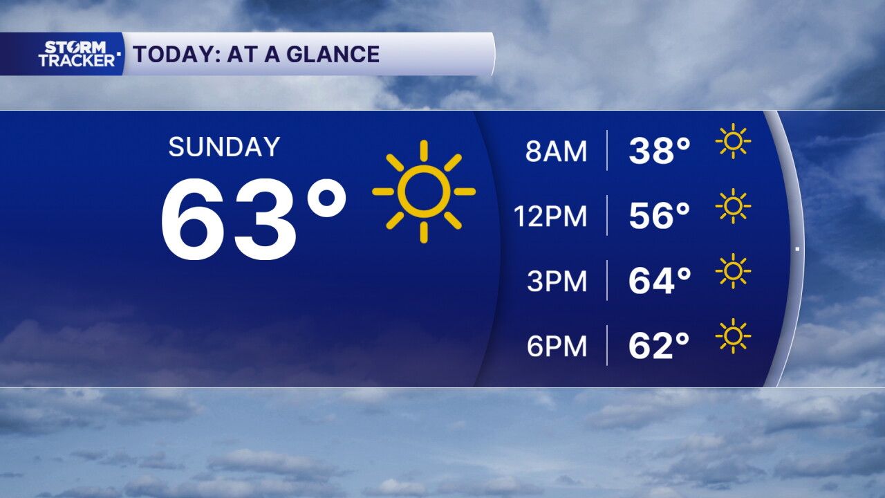


We are starting off on a very chilly note this Sunday morning across Central and Eastern Kentucky, with temperatures ranging from the low to upper 30s. Some locations, especially across Northern and Central Kentucky, are also waking up to patchy frost after temperatures dropped close to or below freezing overnight.
The good news is that we'll see plenty of sunshine throughout the day, allowing temperatures to rebound nicely this afternoon. We're also heading into a beautiful stretch of dry weather with warmer temperatures returning throughout the upcoming week!
Frost Advisories and Freeze Warnings this morning
It's definitely a morning to grab the heavier jacket before heading out the door!
Frost Advisories and Freeze Warnings remain in effect until 9 a.m. EDT Sunday morning across portions of the region.
The coldest temperatures are expected across the Bluegrass region, where some locations have fallen to or below freezing. If you have sensitive outdoor plants, you'll want to make sure they're protected until temperatures warm back up later this morning.
Sunshine returns with a cool afternoon
After our frosty start, plenty of sunshine will help temperatures climb back into the mid 60s this afternoon.
We'll remain dry across Central and Eastern Kentucky, with mostly clear skies and a light easterly breeze.
While it will still feel cool compared to the warmer weather we experienced earlier this month, the sunshine should make for a pleasant fall afternoon.
Gradual warm-up through the week
Our chilly weather won't stick around for too much longer!
High pressure will keep our weather quiet throughout the upcoming workweek, bringing plenty of sunshine and dry conditions.
Temperatures will gradually warm back into the 70s over the next several days, with afternoon highs becoming more comfortable as we head toward the middle and end of the week
 Facebook
  TikTok
  YouTube
 Instagram
 Threads
 X
X