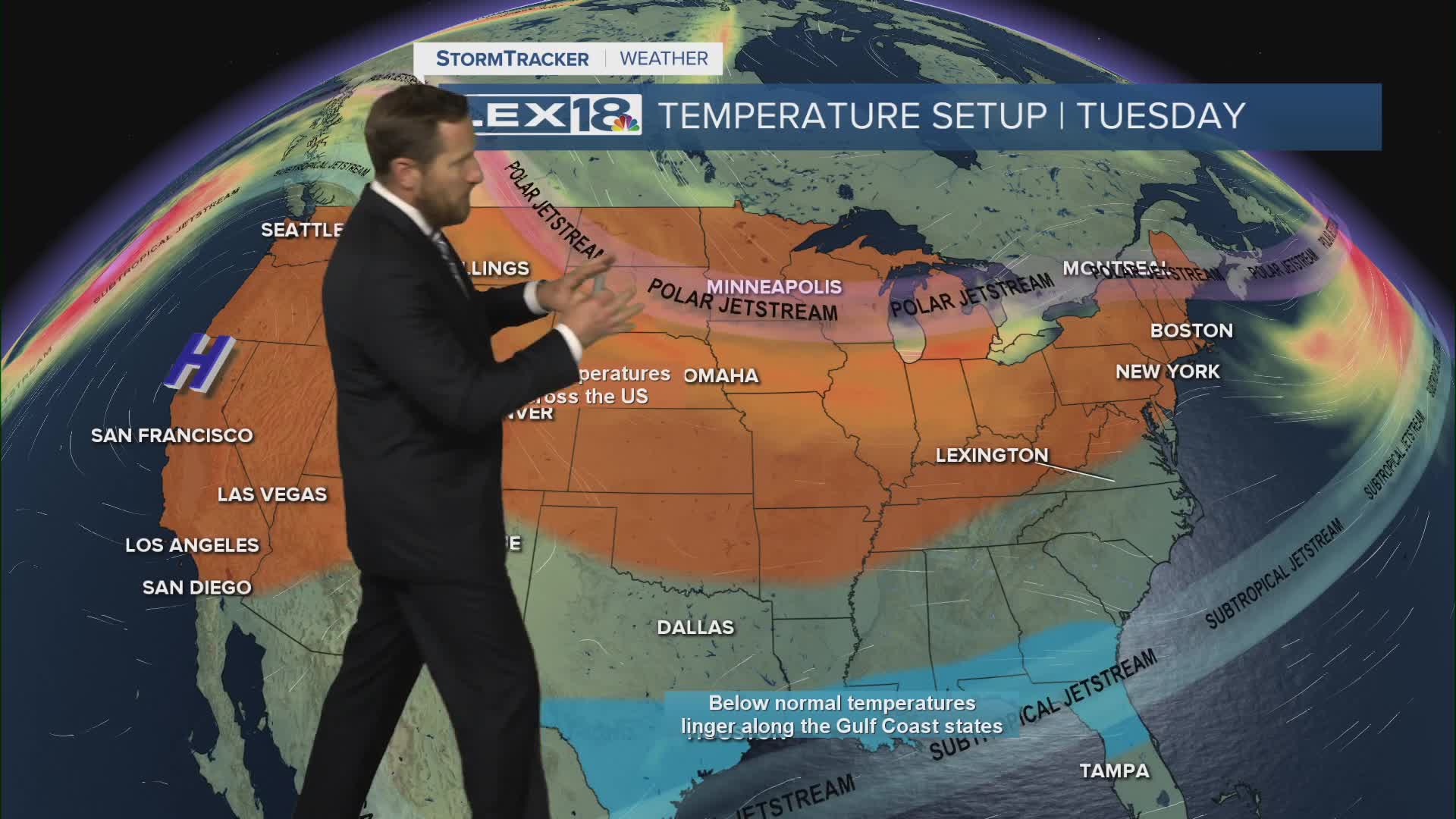


A gusty (30 to 35 mph) southwest wind drives highs well into the 50s Tuesday, despite increasing cloud cover later in the day. We'll get hit with another round of rain Wednesday that will transition to scattered snow showers Wednesday night into Thursday morning. Thursday brings the first of two waves of Arctic air that will keep the Commonwealth in and out of a deep freeze through the end of the week. Expect highs in the 20s and low in the teens with a single digit wind chill possible. A chance for accumulating snow is still out there Friday night into Saturday with snow showers likely this weekend.
