

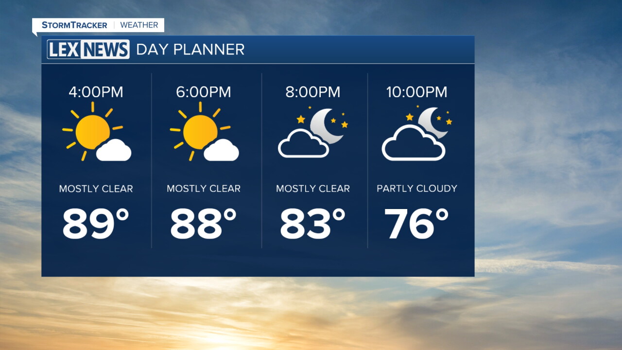


Tuesday has brought another mostly nice day across Central and Eastern Kentucky, with a mixture of sunshine and clouds throughout the afternoon. The biggest difference you may be noticing outside is the return of the heat and humidity.
Temperatures have climbed into the upper 80s and low 90s, while dew points in the upper 60s and low 70s are making it feel a little more humid. We've also seen a few isolated showers develop, especially across portions of Southern Kentucky, but most locations have remained dry.
A few showers before drying out tonight
A few isolated showers will remain possible through the rest of the afternoon and early evening, particularly across Southern Kentucky. Thunderstorms are not expected with this activity, and most of us will stay dry.
Any showers that do develop should quickly fade as we lose daytime heating this evening. Skies will remain partly to mostly clear overnight, with temperatures falling into the upper 60s and low 70s.
Wednesday will be the hottest day of the week
Get ready for another jump in temperatures Wednesday as our brief return to summer heat reaches its peak.
Afternoon highs are expected to climb into the low to mid 90s across Central and Eastern Kentucky. Humidity will also remain elevated, making it feel even hotter outside.
The hottest conditions are expected along and west of I-65, where heat index values could climb into the low 100s Wednesday afternoon. Winds could also become a little breezy at times, with gusts around 20 to 25 mph possible.
Rain chances increase Wednesday night
Changes begin arriving later Wednesday as our next cold front approaches the region.
A few showers and thunderstorms could begin developing Wednesday evening, with rain becoming more widespread Wednesday night into Thursday morning.
The overall setup isn't particularly favorable for widespread severe weather, but gusty winds could accompany some of the stronger storms.
Widespread rain expected Thursday
Thursday looks like our wettest day of the week as the cold front pushes through Central and Eastern Kentucky.
Rain chances increase, with widespread showers and a few thunderstorms expected. Most locations could pick up around a quarter of an inch to about a inch of rainfall with locally higher totals over an inch possible, especially along and north of I-64.
Some locations that repeatedly see showers and storms could receive even higher totals. After the recent stretch of dry weather, much of this rainfall will be beneficial, but we'll still keep an eye on any areas that receive repeated rounds of heavier rain.
Cooler, but unsettled into the weekend
Temperatures will take a noticeable step back behind the front Friday, with afternoon highs dropping into the low to mid 80s.
However, the front may slow down and linger across Kentucky instead of quickly clearing the region. That means isolated to scattered showers and thunderstorms could remain in the forecast through portions of the weekend, especially across Central and Southern Kentucky.
Temperatures should gradually rebound into the upper 80s to around 90 degrees as we move through the weekend.
