


The Flash Flood Watch has been canceled for central Kentucky but has been extended until Friday morning eastern and southeastern Kentucky. Locally heavy rain threats will continue area wide both tonight and tomorrow, but we've seen rainfall being a bit higher east so the ground is holding more water making flooding a greater possibility across the east and southeast. As we always say, never drive on flooded roads.

The stationary front that has caused our heavy rain the last few days will continue to wobble around the next 24 to 36 hours. Rainfall will be locally heavy again tonight, tomorrow and even into Friday. Rainfall looks to be heaviest south of I-64 where we can pick up an additional 1 1/2 to 3 inches as an aerial average between now and Friday afternoon. Areas north of I-64 are looking at a bit less rain overall, with 1/2 to around an inch and a half of rain the next 2 days.

With these storm threats, there's a good chance again that you'll be awakened by rumbles of thunder overnight tonight as these storm clusters move through. Our FutureTrack Lightning Forecaster shows the potential for vigorous lightning storms during the hours between midnight and dawn.

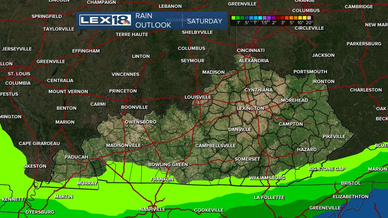
We continue to target Saturday as our dry day. The aforementioned front will finally slink south into Tennessee, taking the rain with it. Enjoy what looks to be our one and only dry day until the middle of next week.
By Sunday, the front begins to head back north. Rain will return from south to north across the area on Sunday. For the I-64 corridor, most of Sunday may end up being ok, but areas closer to Lake Cumberland may have the rain arrive during the morning. The rain will be locally heavy again, especially across the south, with over an inch possible.

