



The heat wave hit its peak today as our high got to 98, tying the record from 1954. It was also the hottest day of the year.
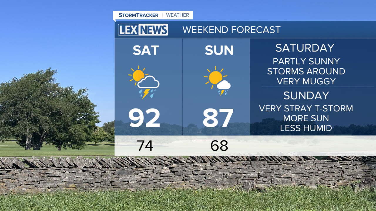
We'll be adding more clouds and higher storm chances Saturday which will knock the highs back a few degrees, but it's still hot as highs get into the low and mid 90s and the heat index will still likely be around 100 in many places.
The storm chances Saturday morning will be from a dying line coming in from the north, so they may not have much when they get to us. The storms that form Saturday afternoon could be strong or severe with a damaging wind gust possible.
By Sunday, less humid air will be arriving taking our highs back to about normal, in the mid 80s. It will be a lot more comfortable Sunday afternoon and Labor Day Monday.
