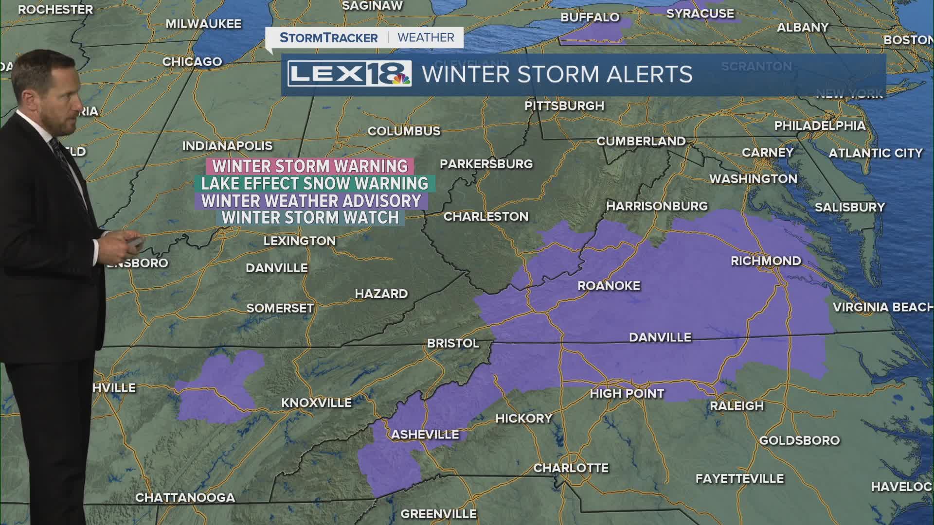


We're in for a mostly cloudy and cold Thursday, so no real change to the overall wintry chill that's gripped the area this week. Watch for flurries and isolated snow showers in the morning; we'll see highs in the mid to upper 30s. A Gulf coast low will sling just enough moisture north to graze southeastern Kentucky with a quick hit of rain to snow Thursday night. This looks to bypass the Bluegrass altogether, but watch for light, accumulating snow (1" to 2" at higher elevations) that could impact the Friday morning commute for our far southeastern mountain counties.
Lingering Clouds and Cold Air Thursday
A Quick Wet to Wintry Hit Southeast Overnight
