


WATCH UP-TO-DATE WINTER STORM COVERAGE ON FACEBOOK LIVE:
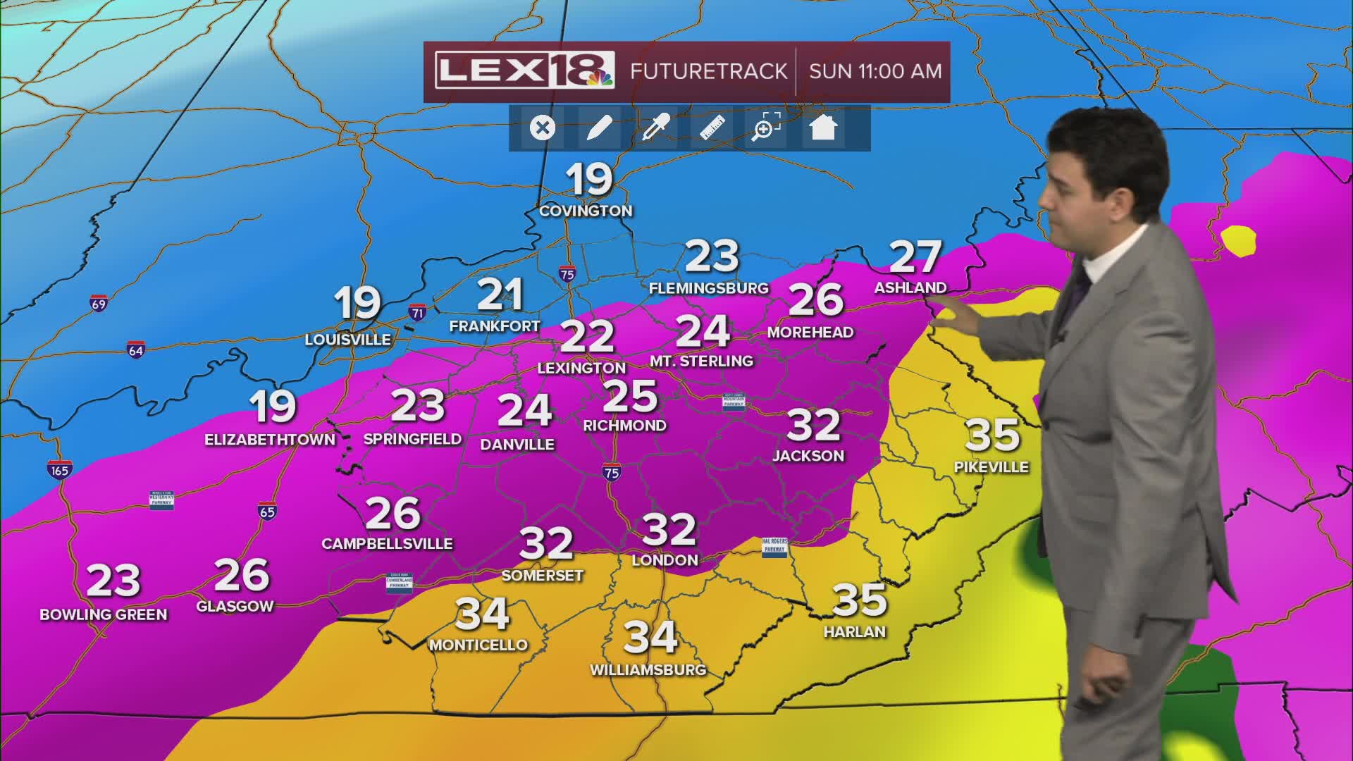
A major winter storm is on the doorstep as we enter the weekend. Heavy snow, sleet and freezing rain are all possible through Sunday afternoon. Our storm will begin in the early afternoon hours as all snow. Heavy snow is possible throughout the afternoon and evening for all of us. Overnight, things will change. Late Saturday night, warmer temperatures will move north, bringing a chance of freezing rain and sleet. The areas of concern for ice will be anyone south of Richmond. This will continue into Sunday morning and through the afternoon. Lexington will see a sleet/snow mix during the later morning and early afternoon hours of Sunday, before a mainly snow mix returns by the end of the day. Totals will vary for most of us. Areas north of Lexington will see amounts greater than a foot, while Lexington could see 8-12 inches. Sleet could cut into those totals, and so could freezing rain if it reaches Lexington. Amounts will decrease the further south you go,o with an increase in freezing rain or sleet. On the backend of the system, temperatures will be extremely cold, with highs barely reaching the teens and overnight lows well below zero.
