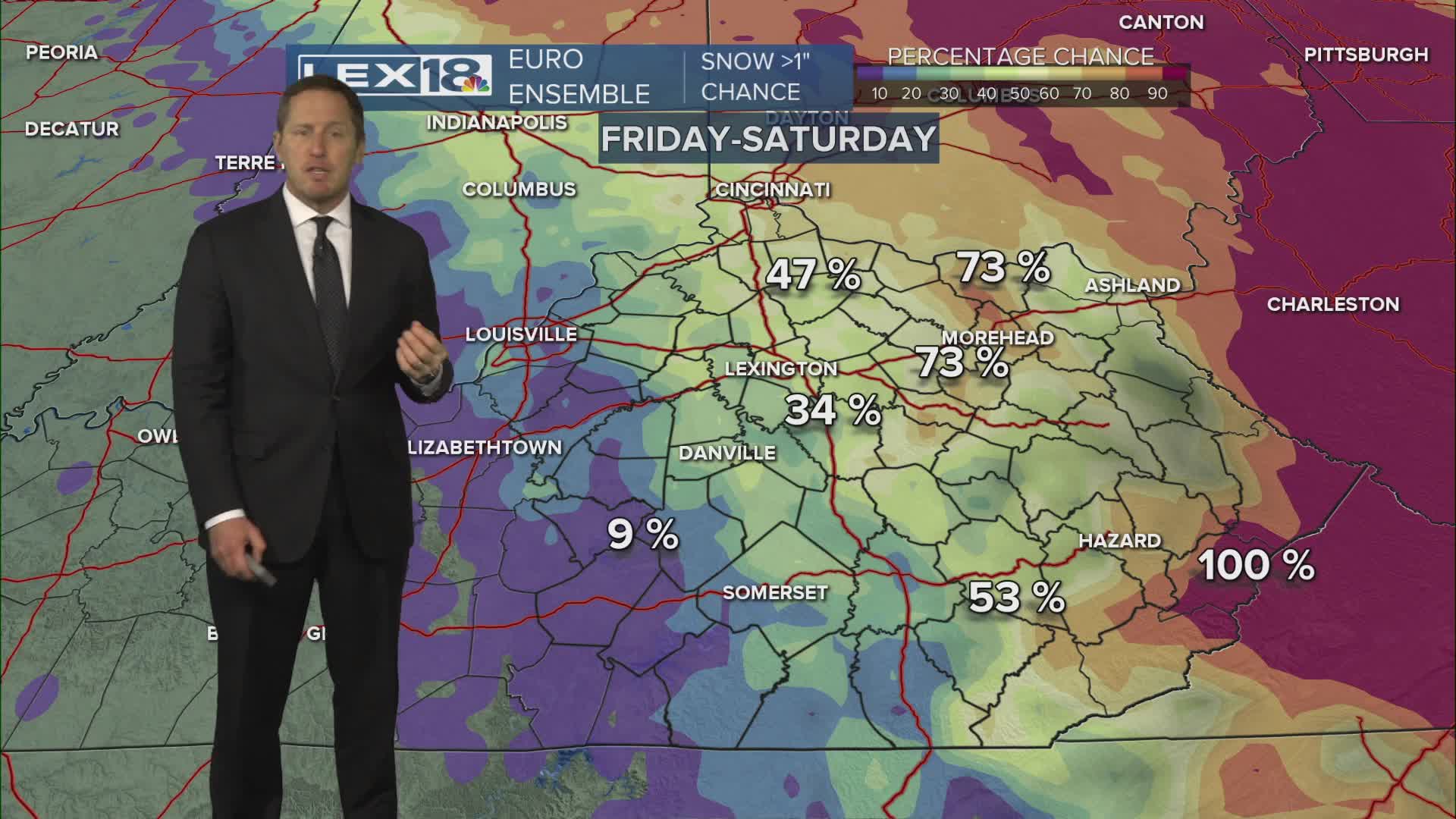


Early February gloom continues Thursday with mostly cloudy skies and well below normal highs in the 20s in the Bluegrass to around freezing down south. A clipper dives across the Great Lakes to start the weekend, dragging a cold front and a bit of moisture in the form of rain and snow showers across the Commonwealth. Expect highs in the low to mid 30s, with some light, slushy snow accumulation possible later in the day. A gusty west wind will keep it feeling raw out there. Snow showers will keep firing Friday night before finally winding down Saturday morning. As usual, watch it on the roads! The rest of the weekend looks quiet, partly sunny and cold Saturday with mostly sunny skies and mid 30s Sunday. Next week starts the much anticipated thaw with highs rising into the 40s (near normal) and eventually pushing 50° with a rising rain chance midweek.
Mostly Cloudy and Still Cold Thursday
A Quick Hit of Wet and Wintry Weather Starts the Weekend
