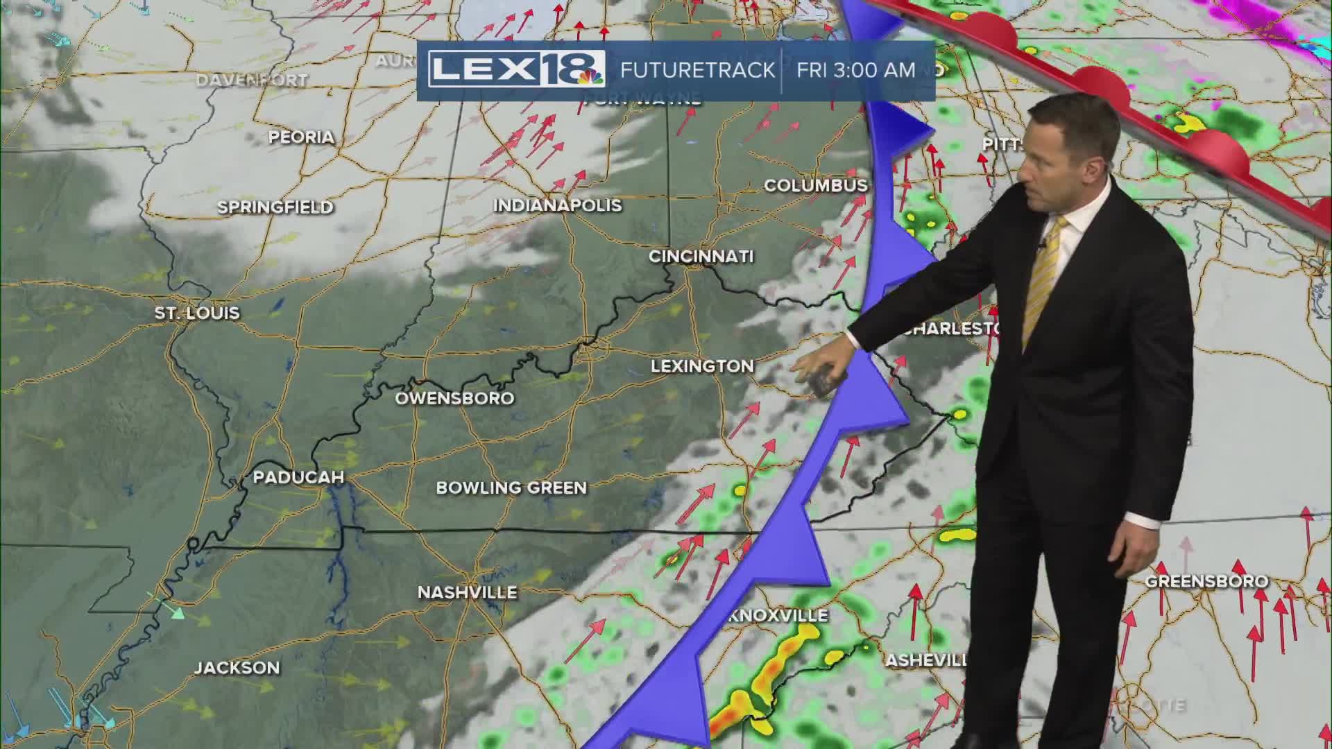


Even with considerable cloud cover and a few showers early in the day, Wednesday will see highs soaring well above normal. We'll top out in the mid 60s midweek with upper 60s to low 70s possible Thursday propelled by a gusty south/southwest wind. Stay weather aware Thursday evening; a round of strong to severe storms will develop west and push east. The line looks to run out of steam as it tracks into the area but damaging wind gusts are possible, especially west/northwest. Much colder air wraps around a Great Lakes low heading into the weekend, and highs will fall from the 50s Friday to the 40s Saturday and bottom out in the upper 30s with scattered snow showers and flurries Sunday. Winter isn't done with us yet!
Mostly Cloudy, Gusty and Unseasonably Warm Midweek
Showers and Storms on the Rise through Thursday Night
