


WATCH LIVE: Tom Ackerman was live on Facebook with a weather update Thursday morning:
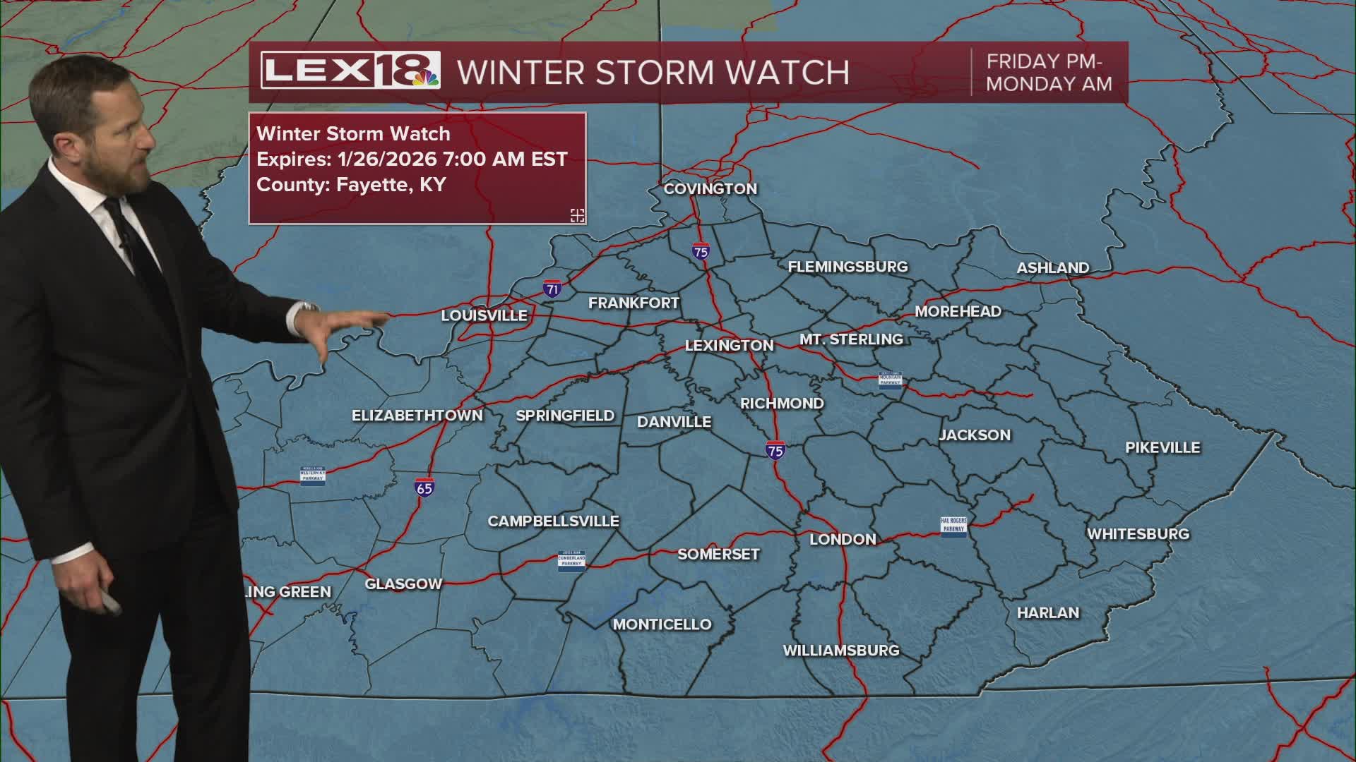
We have a couple of days to prepare before a major winter storm hammers the Commonwealth. Stay weather aware and be prepared! Expect morning clouds giving way to some afternoon sunshine Thursday with highs in the upper 30s in the Bluegrass to 40s down south. A dry front, also the leading edge of the Arctic air for the weekend, passes Friday. We'll end up mostly cloudy with flurries and colder highs in the upper 20s to the low to mid 30s south. A winter storm watch is in effect for the entire area for the weekend. The snow will probably come in two waves with the first round later in the day Saturday and the bulk of the storm hitting Saturday night into Sunday. We're looking at significant, moderate to heavy snowfall in the Bluegrass with sleet and freezing rain likely toward our southern border. Expect hazardous travel conditions and potential power outages late in the weekend. An Arctic deep freeze with near record lows below zero will keep whatever falls locked in early next week.
