

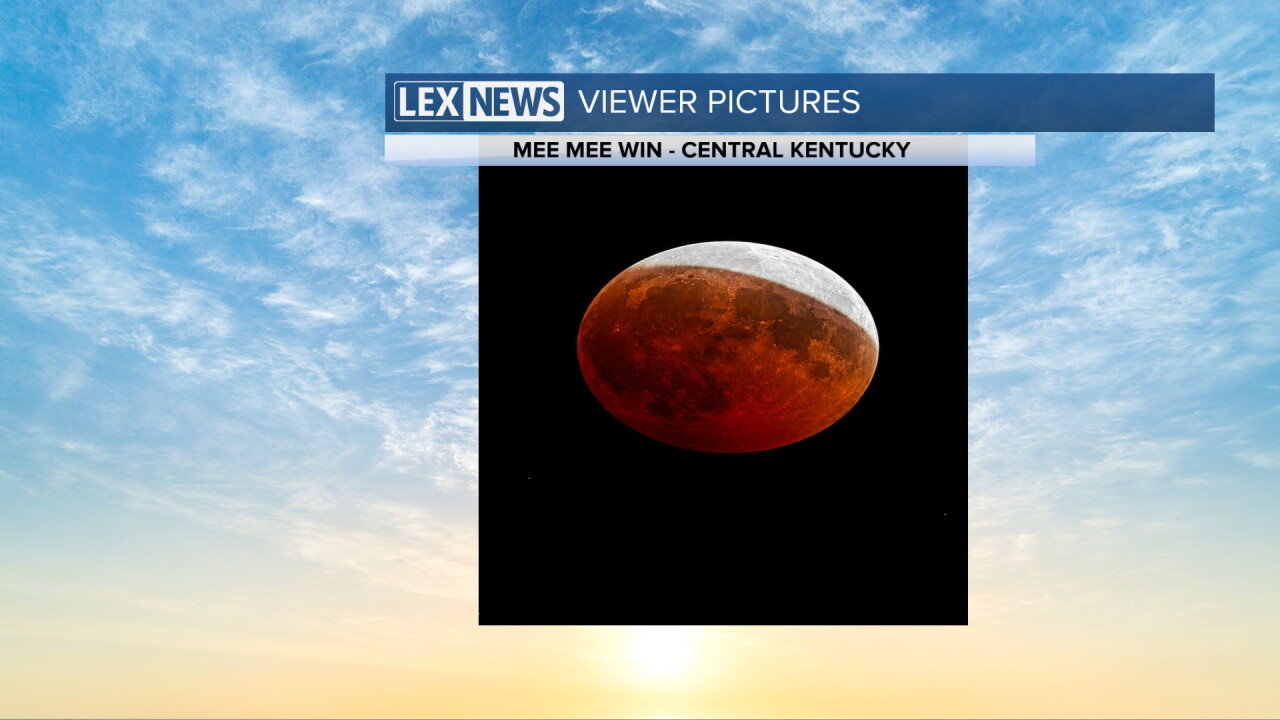


We saw a few scattered storms Thursday across Southern Kentucky thanks to a cold front moving through but otherwise it has been a dry and fairly pleasant week across Central and Eastern Kentucky, even with a little more humidity creeping back in. It did clear out enough for good viewing conditions for the partial (and nearly total) lunar eclipse late Thursday evening and with the peak just past Midnight into Friday morning.
The front moving out of the area should allow some slightly drier air to slide in for Friday on the heels on a light northeast wind. Other than a stray shower in the southeastern mountains, we should be mainly dry to close out the week with afternoon highs generally in the low to mid-80s so it will feel pretty good for the end of August across Central and Eastern Kentucky.
The big story into the final weekend of the month will be the heat slowly returning to the Ohio Valley. Look for increasingly warmer temperatures each day with highs in the mid to upper 80s on Saturday before we approach the 90° mark on Sunday. Humidity levels will begin to climb as well so make sure you hydrate properly and slow it down during the hottest part of the day.
Rolling into next week the heat will build in even more as afternoon highs surge into the low to even mid-90s as we see Meteorological Fall begin on Tuesday. It's not unusual to get afternoon highs in the 90s the first few weeks of September and this year will be no exception. While humidity levels will be elevated, we shouldn't see excessively high heat index values with most spots seeing heat indices around 100° or so each day. Of course you'll want to find a cool spot when you can and try to slow it down during the hottest part of the afternoon. Unfortuantely we won't see much in the way of rain chances until late week when a frontal boundary draws closer to the area. Look toward Labor Day weekend, temperatures may stay at or above average for early September. Have a great weekend!
