



It was another active afternoon across parts of Central and Eastern Kentucky as showers and thunderstorms developed along a cold front moving through the region. Several storms became severe, especially across the Bluegrass and Eastern Kentucky, bringing gusty winds, hail and heavy rainfall.
The good news is that most of that activity has now moved out, and a much quieter stretch of weather is on the way.
Lingering showers clearing out tonight
Most of the stronger storms have moved out of the area this evening, although a few showers and storms may continue to linger across Southeastern Kentucky.
Those should gradually move out as we head through the overnight hours and the cold front pushes farther southeast. Skies will begin to clear behind the front as cooler and noticeably drier air filters into the region.
Temperatures will fall into the low to mid 60s by early Sunday morning.
A beautiful Sunday ahead
Sunday is looking much better across Central and Eastern Kentucky.
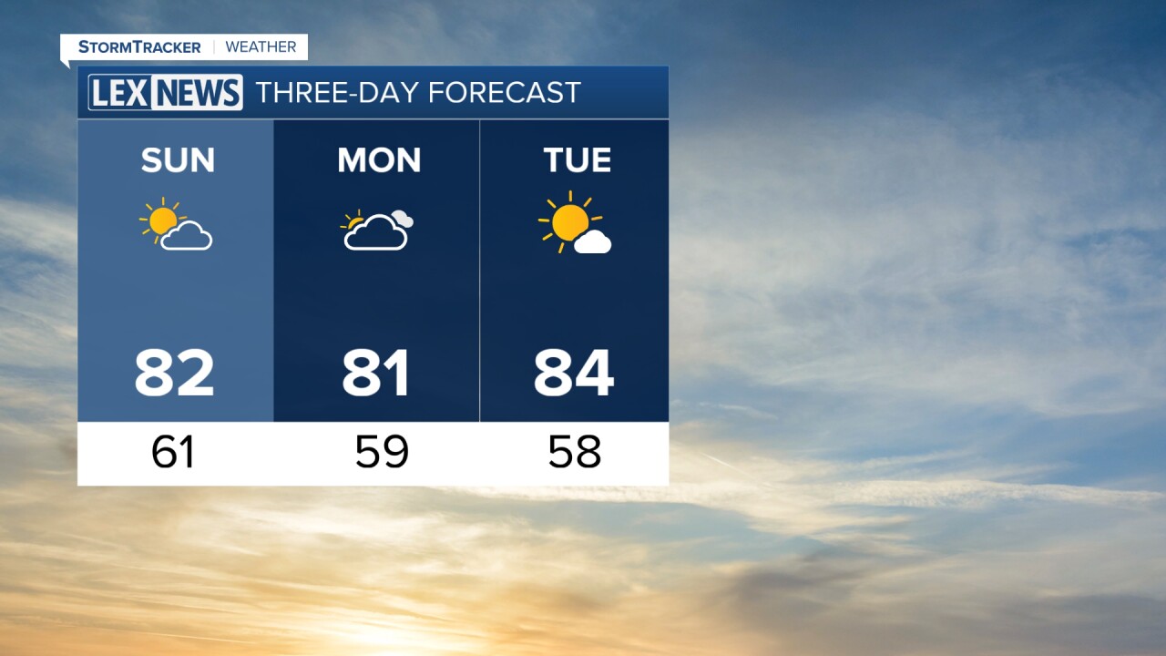
Expect a mix of sunshine and a few afternoon clouds, with much lower humidity making it feel noticeably more comfortable outside. Afternoon highs will generally reach the low to mid 80s.
The cooler weather becomes even more noticeable Sunday night into Monday morning, when some locations could fall into the upper 50s.
Pleasant weather sticks around
The comfortable weather will stick with us to start the new workweek. Monday should feature plenty of sunshine, relatively low humidity and highs once again in the low to mid 80s.
Tuesday stays mainly dry as well, with temperatures warming slightly into the mid 80s. Overall, Sunday through Tuesday is shaping up to be a great stretch of late-August weather.
Warmer with rain chances returning
Changes begin arriving by the middle of next week as temperatures climb back into the mid to upper 80s. A few of our warmer locations could even approach 90 degrees Wednesday and Thursday.
A warm front could bring isolated to scattered showers and thunderstorms Wednesday afternoon and evening. Another cold front is then expected to approach Thursday, keeping a small chance for additional showers and storms in the forecast.
