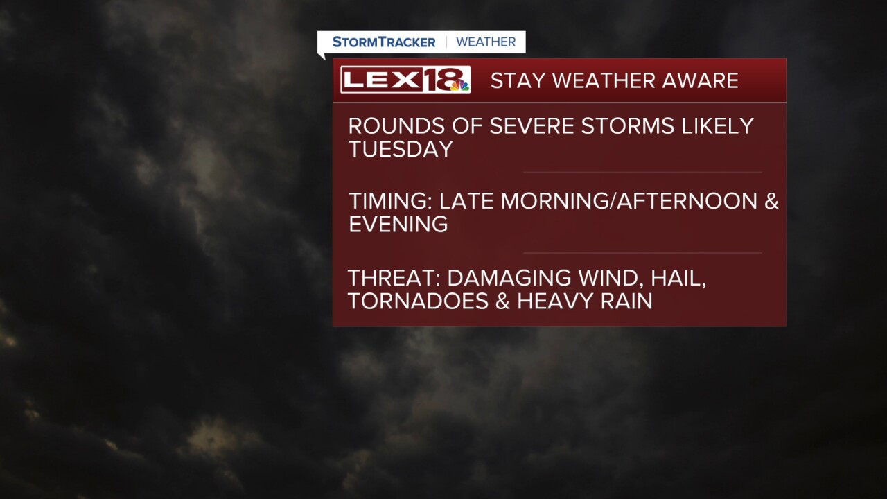
Stay weather aware Tuesday, we're in for multiple rounds of strong to severe storms. The first wave will impact the area late Tuesday morning into the afternoon with a brief late afternoon lull and another round Tuesday evening. All modes of severe weather are in play, damaging wind, hail, tornadoes and heavy rain. Make sure you know your safe space to ride out the storms, have your phone charged and download the free Stormtracker weather app or have a NOAA weather radio on hand. A flood watch is in effect Tuesday afternoon through early Wednesday morning. We could see a rainfall range of 1" to 3"+ which could quickly lead to flooding. After the cold front tracks east overnight highs will drop from the 70s Tuesday to the 60s midweek.
Rounds of Severe Storms Inbound Tuesday
Heavy Rain Threat also Prompts Flood Watch


