

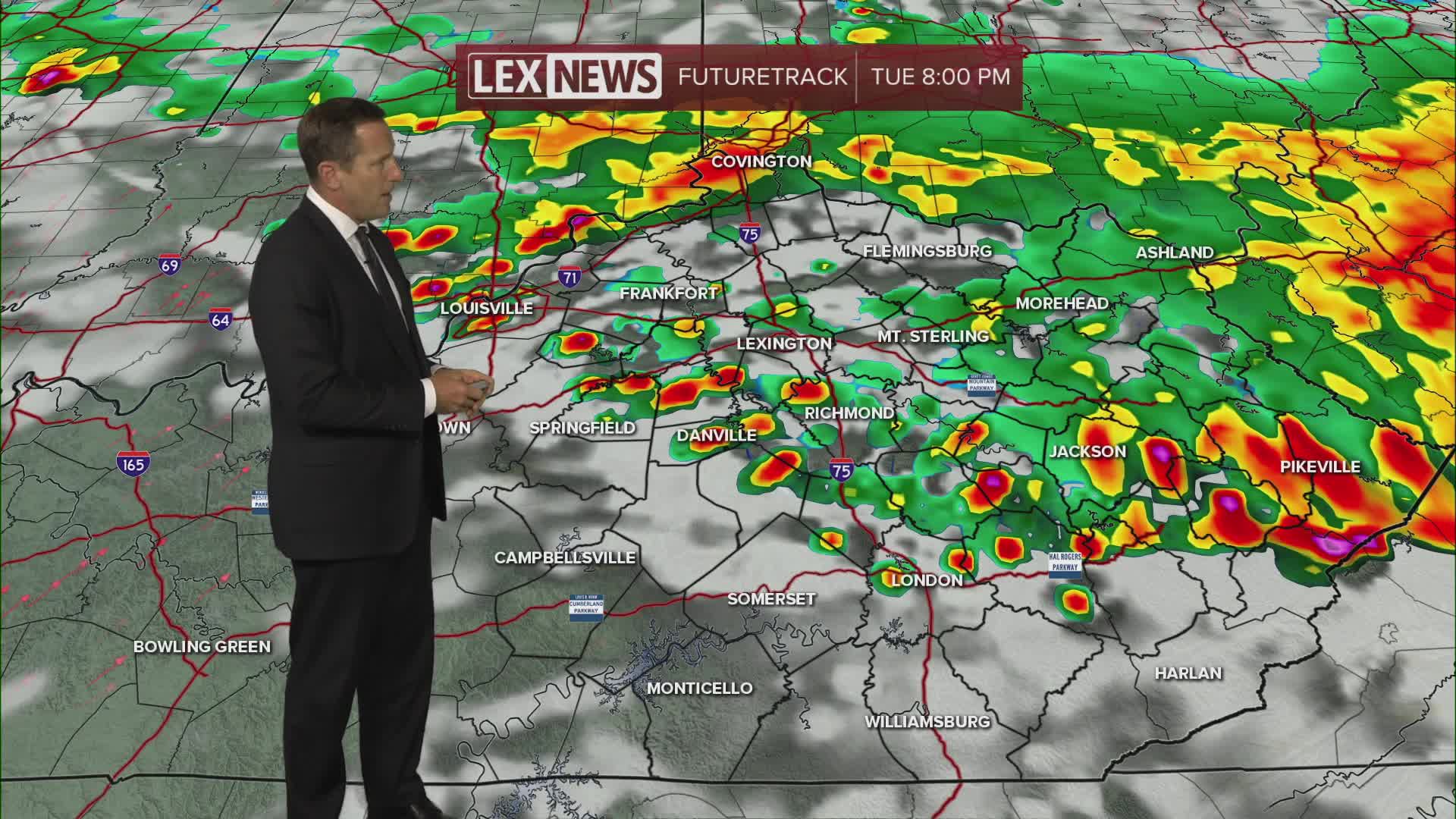


Stay weather aware through midweek! An active storm track across the Ohio Valley will start dropping rounds of showers and strong to severe storms our way beginning Tuesday, late in the afternoon into the evening. Our primary threat is damaging wind but also watch for heavy rain. A flood watch is in effect for eastern counties. Additional rounds will track southeast Wednesday through Friday before high pressure clamps down, and the storm threat subsides this weekend. Expect highs in the 80s with steamy air keeping that heat index in the 90s.
Rounds of Strong to Severe Storms Inbound
Damaging Wind and Heavy Rain Possible
