

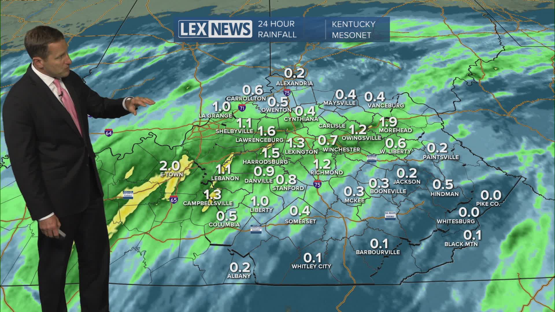


We're stuck in a stagnant, unsettled pattern midweek with more scattered showers and storms likely Wednesday and near normal highs in the upper 70s. Watch for strong afternoon, evening storms that could produce damaging wind, but the main concern is heavy rain. Persistent rounds of showers and storms have left much of the area waterlogged; any additional moderate to heavy rain could lead to localized flash flooding. A flood watch is in effect along and north of I-64 until Thursday morning. We'll slowly dry out later this week with a few lingering showers Thursday and a nice looking weekend in the works.
Scattered Showers and Storms Hang on Midweek
Flood Watch until Thursday Morning
