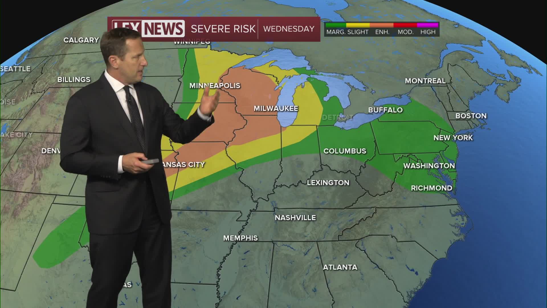


We're stuck in a very warm and muggy airmass, with additional scattered showers and storms possible Wednesday, mainly in the morning. Coverage looks more limited but watch for gusty wind and locally heavy rain. With saturated ground from Tuesday's deluge, localized flash flooding is possible. A flood watch remains in effect for most of the area until noon. Active weather takes a break Thursday, and it will be straight up steamy with highs in the mid to upper 80s Wednesday but topping out around 90° Thursday. With high humidity blanketing the Commonwealth, the heat index will hit the mid to upper 90s. Take it easy and stay hydrated if you work outside!
