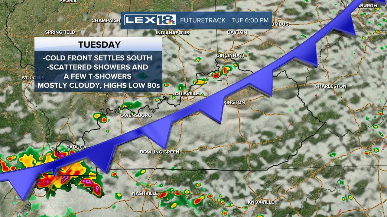
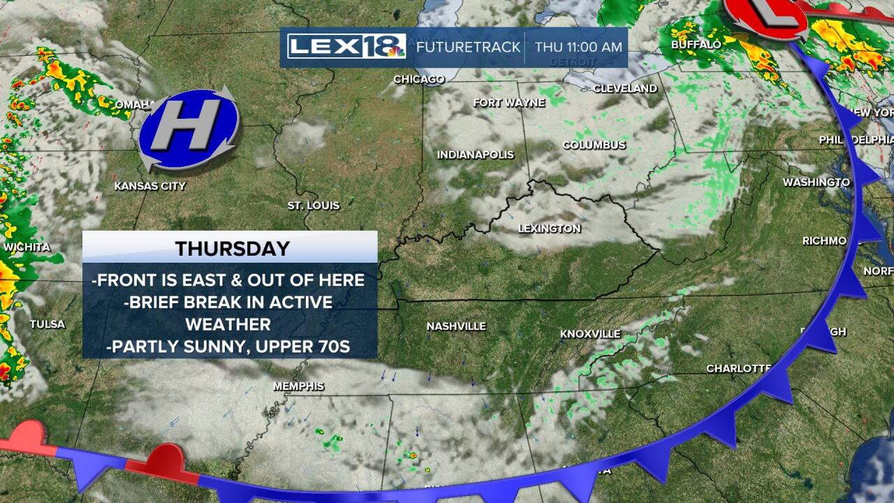
A cold front settles in and stalls out midweek keeping your StormTracker forecast muddled and active. Tuesday will end up mostly cloudy with a morning round of showers and t-showers giving way to a break with the chance for scattered development later in the day. With that boundary stalled overhead Wednesday and gradually pushing east late, expect more widespread showers and storms, a few could be strong to severe. We'll catch a break in active weather Thursday but start the weekend off with more showers, storms and even cooler air to follow.


