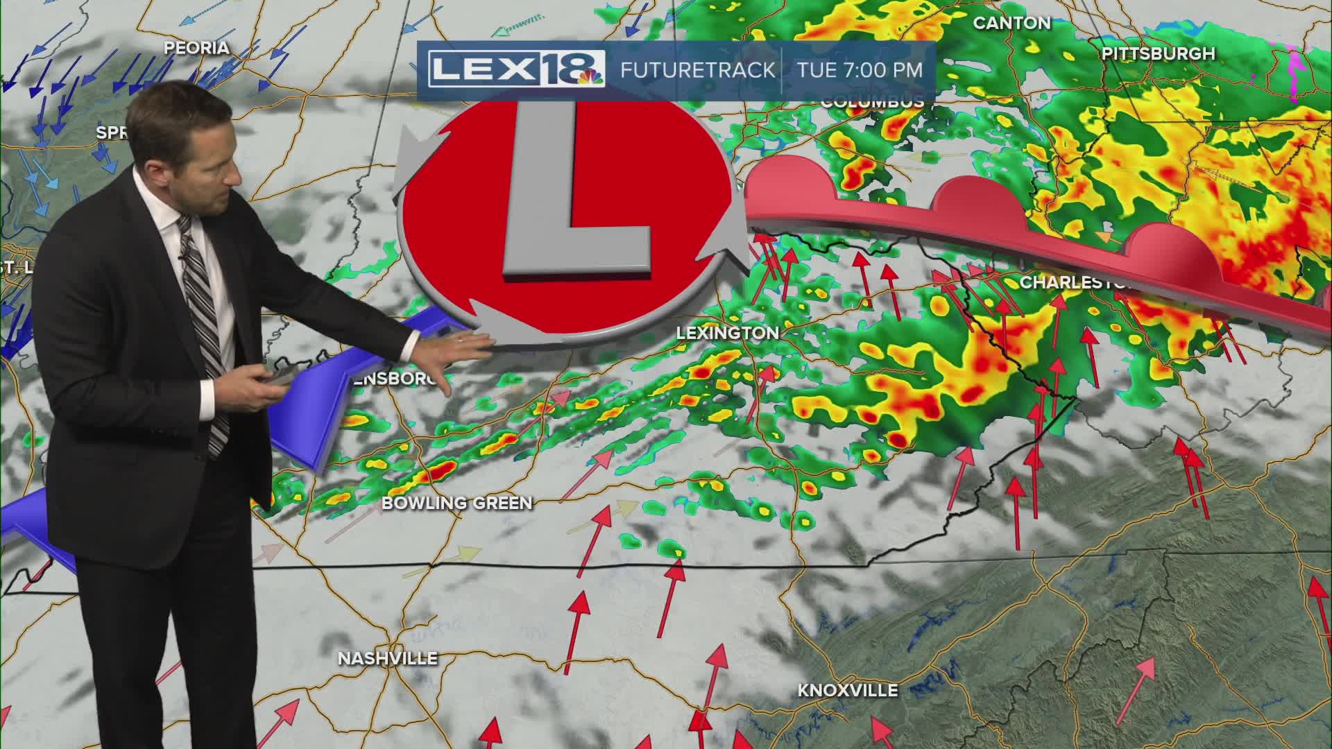


Active weather fires up Tuesday with a few morning showers giving way to more widespread coverage later in the day as low pressure slowly approaches. Watch for strong, gusty storms and locally heavy rain in the afternoon and evening. With a warm front draped across the area there will be a significant spread in highs today with 50s north to mid 60s south. We're in-between systems Wednesday with a brief break, expect lingering clouds, isolated showers and highs in the low 60s. Rain ramps back up Thursday with showers and t-showers on and off through Friday. We'll see a rainfall range of 1" to 3" through the weekend, watch for potential isolated flooding threats with the additional rounds later in the week.
Showers and Storms Fire Up Tuesday
A Midweek Break with More Inbound Thursday-Friday
