
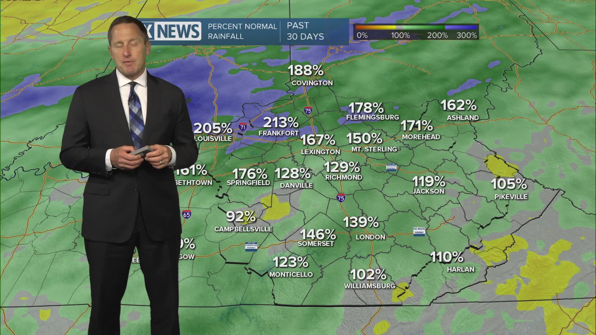


After that brief Memorial Day break from active weather, low pressure to our southwest and a stalled front hanging around will sling moisture our way Tuesday and we'll see more showers and storms developing throughout the day and continuing overnight into Wednesday. There isn't much of a severe storm threat, but we could see gusty showers and t-showers that produce bursts of moderate to heavy rain. Expect rainfall amounts in the 1" to 2" range with isolated 2" to 3" possible through midweek. Watch for flash flooding in areas that see repeated rounds. Highs will stay in the mid 70s Tuesday and upper 70s Wednesday.

