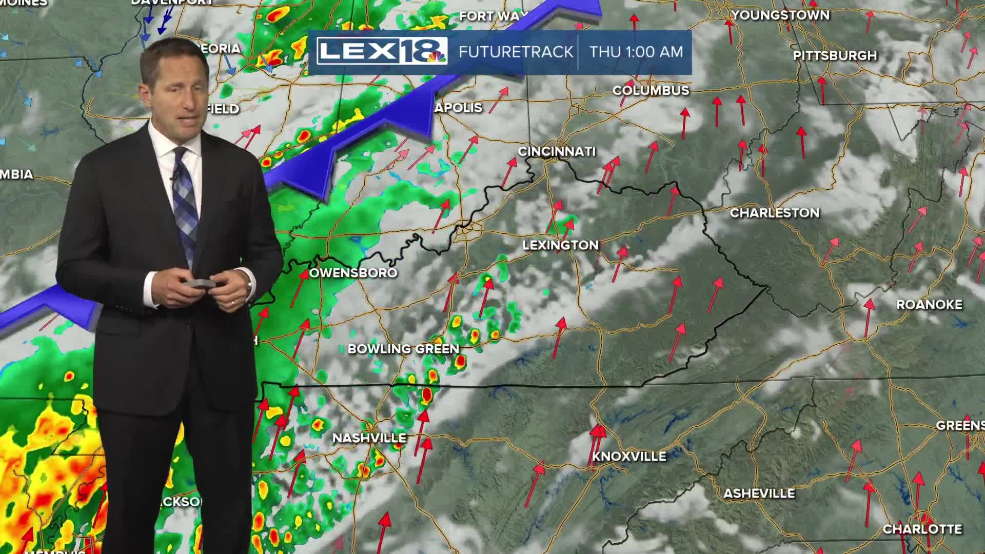


Our unsettled pattern hangs on Tuesday with showers and storms likely, especially in the afternoon and evening. The overall severe storm threat remains low but watch for gusty wind and heavy rain. Already saturated areas could quickly see localized flooding from storms producing moderate to heavy rain. A flood watch is in effect Tuesday for eastern counties. Stay weather aware midweek, a line of strong to severe storms will push east and impact the area from late afternoon into the evening. It will weaken as is goes but damaging wind gusts are possible, especially early and west of I-75. Expect another round of scattered showers and storms Thursday after the front passes. Summer officially begins Friday and with high pressure taking over we'll dry out and heat up. Highs will soar to around 90° Saturday, Sunday and into early next week.
