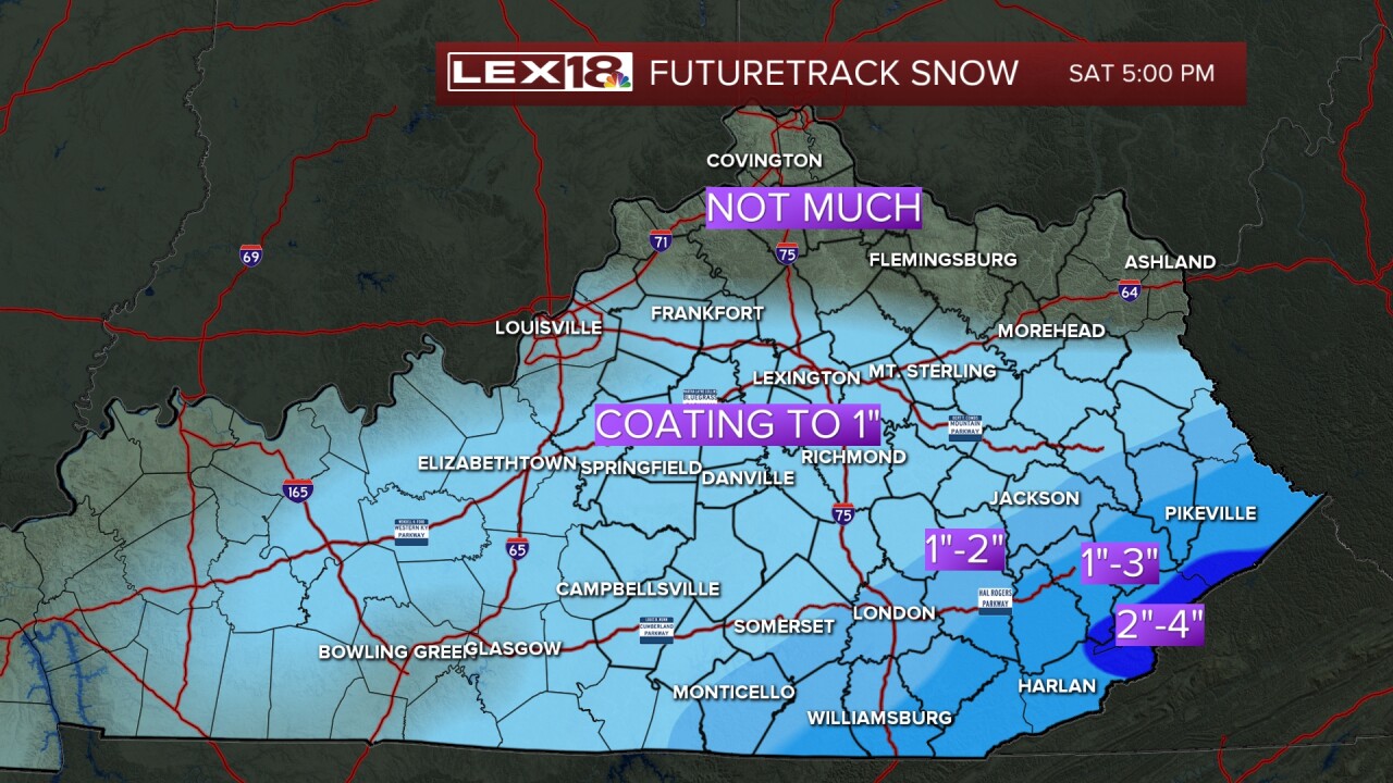


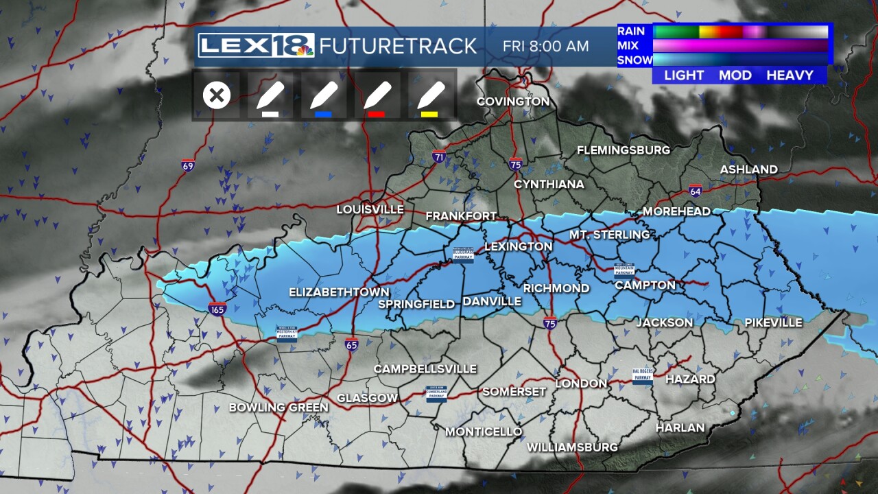
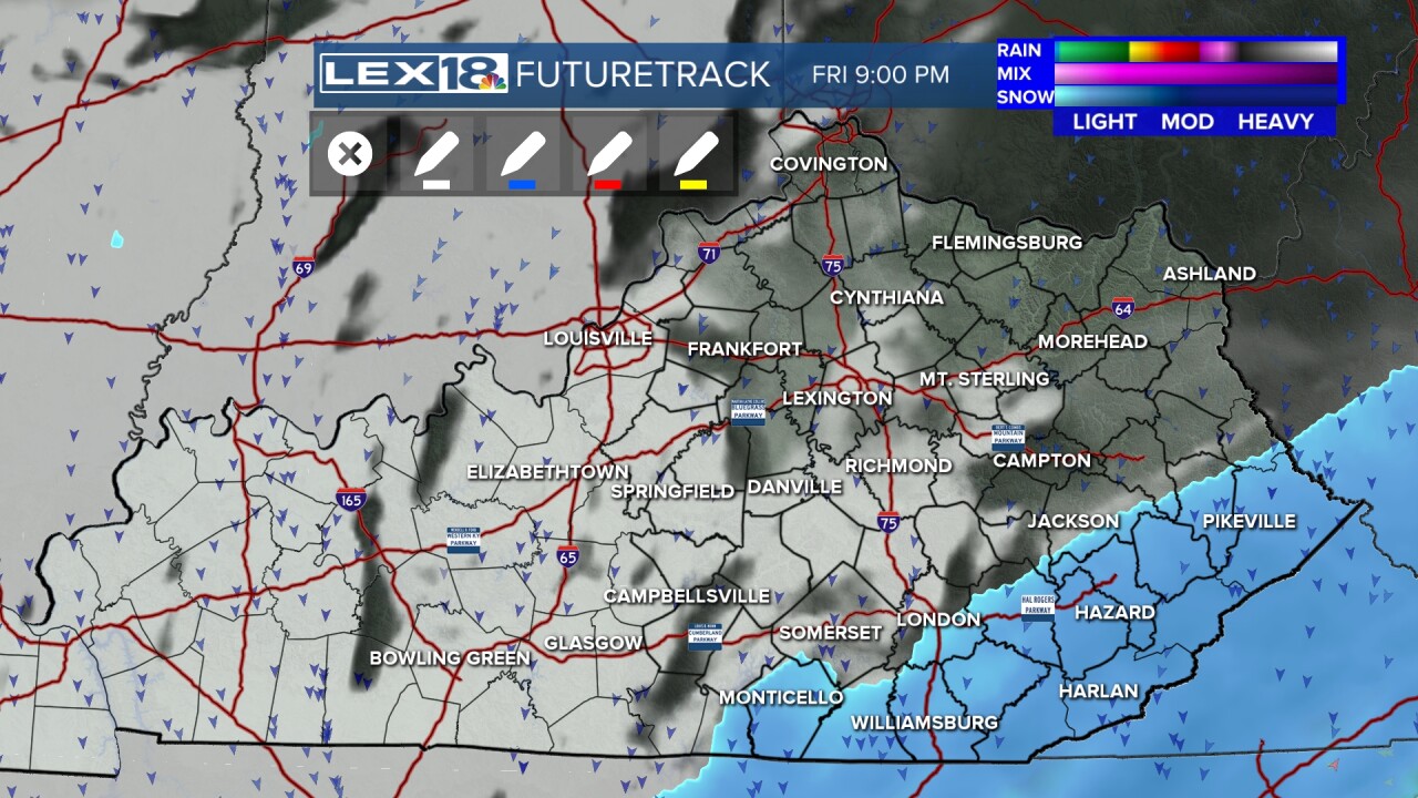
We're looking at a little light snow (all snow!) developing later tonight and early Friday. For many of us, it's a coating to maybe an inch, but overall, not much. We will need to watch out for new slick areas as this fluffy snow falls on the leftover snow and ice.
The south and east has a Snow Advisory until Saturday morning for light accumulations that increase more south and east you go as the snow may last into the day on Saturday.

Areas around Lake Cumberland could see an inch or 2 of snow. It goes up to 1 to 3 inches around the Hal Rogers Parkway. The higher terrain could see a 2 to 4 inch snow with the very highest terrain potentially seeing more.
A big east coast storm will bring large snowfalls to the Carolinas and at this point, the biggest snows look to stay on the other side of the Appalachians.
Regardless, much colder air is coming back in for the weekend.
