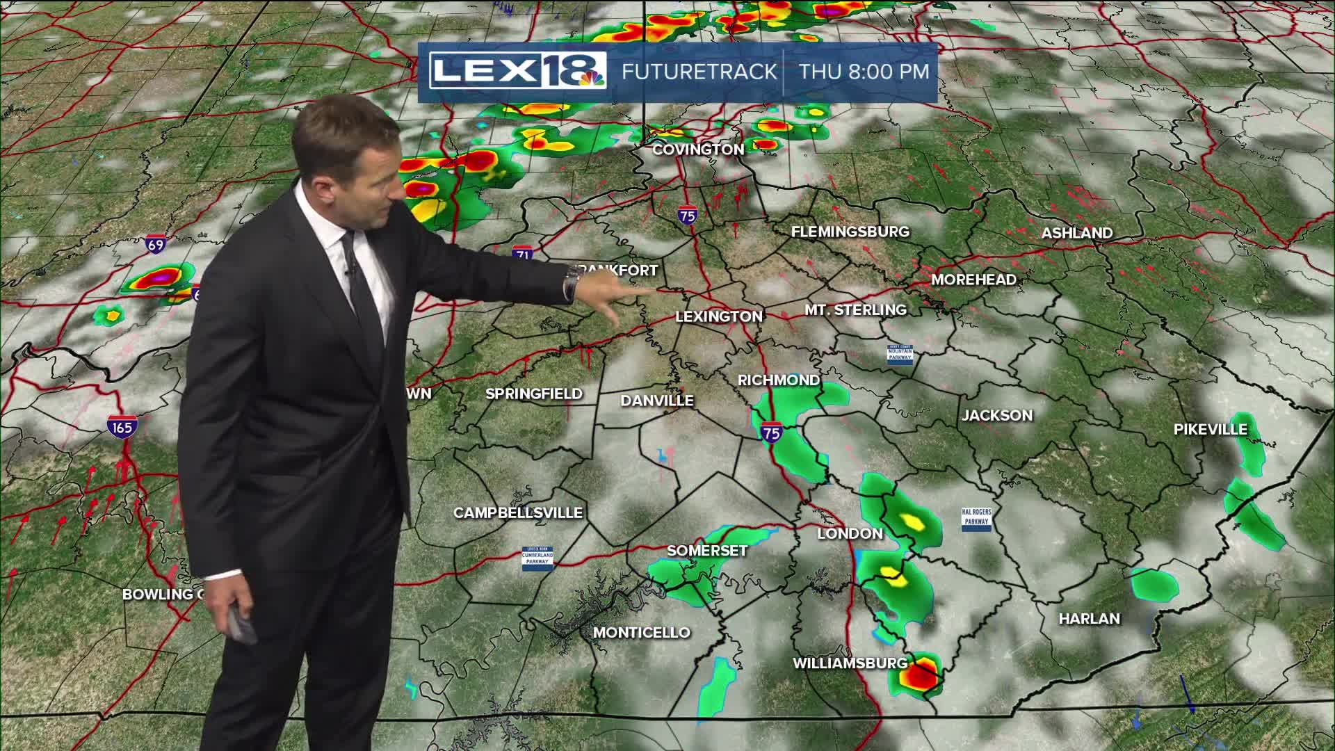


It's hot and steamy again as we hit the middle of the week. Expect highs in the low 90s and the heat index approaching triple digits Wednesday afternoon. A heat advisory is in effect for western and northern counties. Stay hydrated, and don't overdo it outside. A slowly approaching cold front will throw a round of showers and storms our way late in the evening, overnight. A few strong to severe storms are possible early on, but the line should weaken as it passes mainly through the Bluegrass and northern Kentucky. Independence Day looks active; widespread showers and storms are likely, with a few strong to severe (damaging wind & heavy rain) with activity winding down through the evening. High will fall to the mid to upper 80s and stay there the rest of the week.
