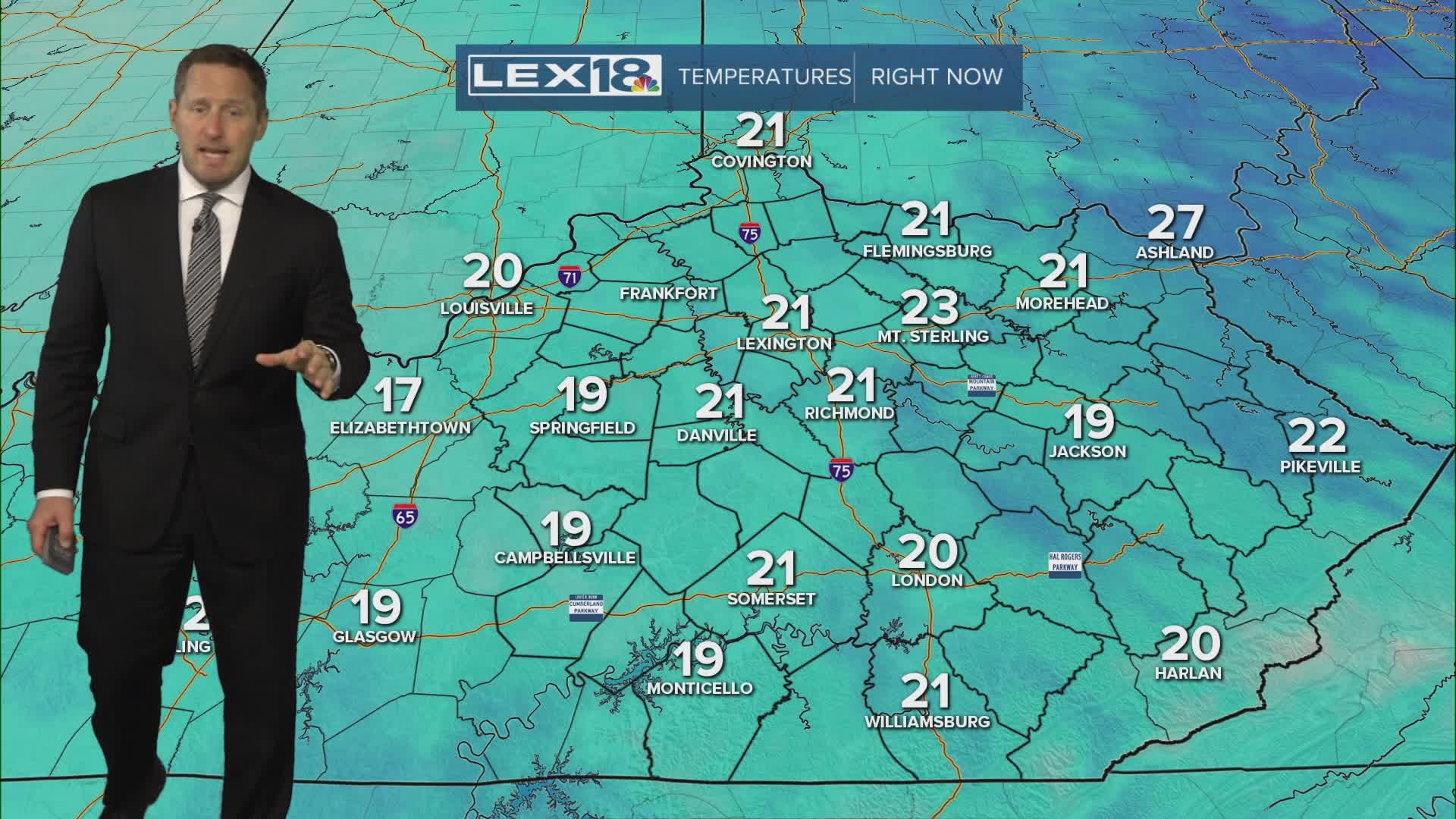


It's still feeling like winter Monday with lingering clouds, flurries and isolated snow showers and highs near freezing. A winter weather advisory remains in effect for far southeastern mountain counties where scattered snow showers could put down another inch or two of accumulation at higher elevations. Watch for black ice and slick spots on your morning commute! We'll slowly start to shake the cold as sunshine returns Tuesday with highs edging back into the low to mid 40s. We'll hit the 50s midweek before a cold front brings a round of rain showers Wednesday night into Thursday.
