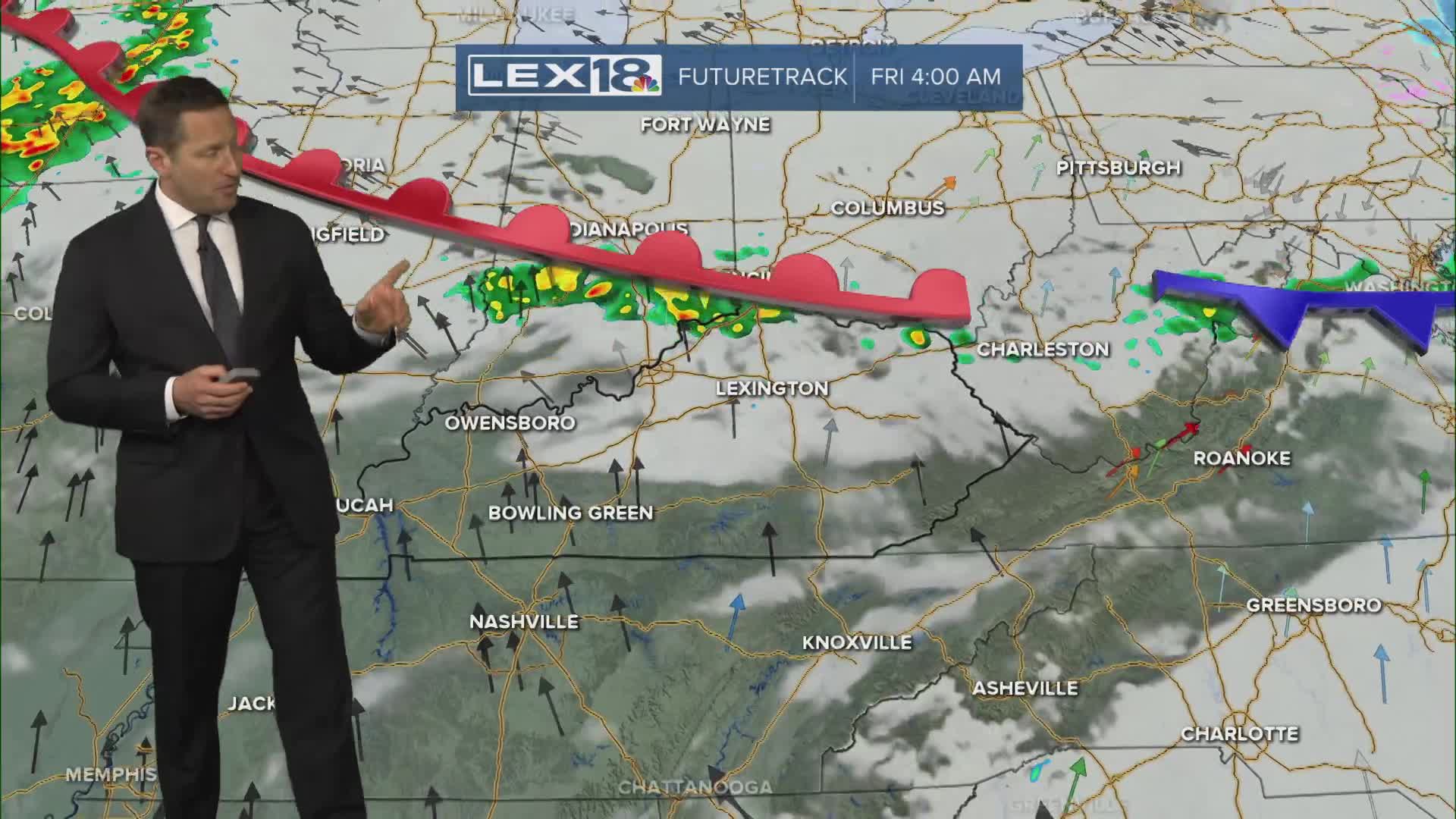


Thursday will be active with a round of showers and storms pushing east through the morning and lingering scattered showers and a few storms late in the day. Expect a mostly cloudy, windy and very warm day with highs in the low to mid 70s. Friday brings a break in the action with just a few showers and isolated storms. More sunshine and a strong south wind will send highs soaring to near record levels, in the upper 70s in the Bluegrass to low 80s southeast. Another cold front passes this weekend sparking more showers and storms Saturday with highs still in the 70s. We'll need to watch for strong storms and heavy rain that could lead to localized flooding. Sunday looks partly sunny, quiet and cooler with highs in the 60s to wrap up the weekend. Don't forget to "spring forward" this weekend. Daylight saving time begins Sunday at 2 AM.
Still Active Thursday, More Showers and Storms Inbound
Near Record Highs Start the Weekend
