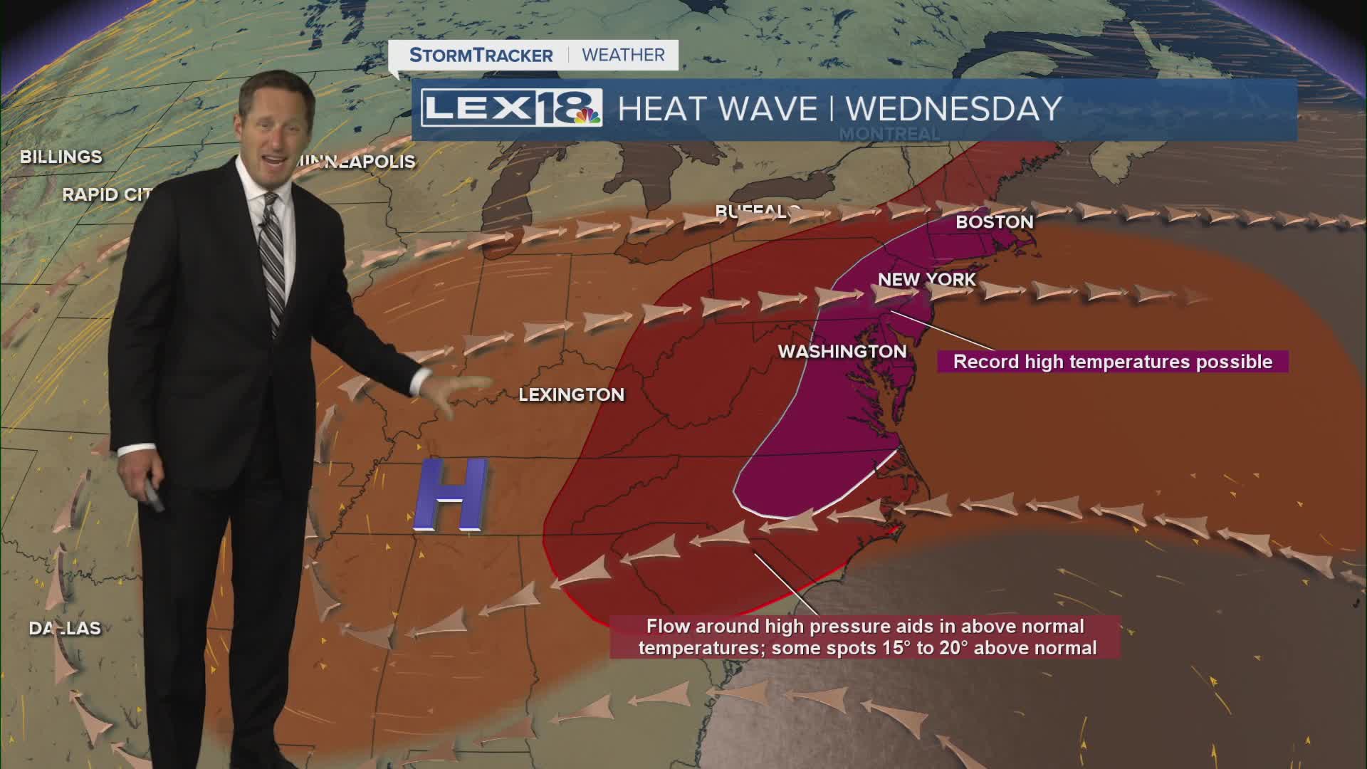


The heat wave keeps simmering midweek with highs right back in the mid 90s and the heat index up to and over 100°. The heat advisory remains in effect Wednesday, stay hydrated and avoid the peak heat of the afternoon if you can. Isolated showers and t-showers are possible but watch for the shower and storm chance to slowly rise later this week with highs dropping slightly in response. We're still in the low to mid 90s Thursday but will fall from the low 90s Friday to the upper 80s by the end of the weekend. A cold front will pass through Monday night, spiking our shower and storm chance but also finally putting an end to the heat wave with near normal highs in the mid 80s toward the middle of next week.
Still Hot and Steamy Midweek
Showers and Storms on the Rise this Weekend
