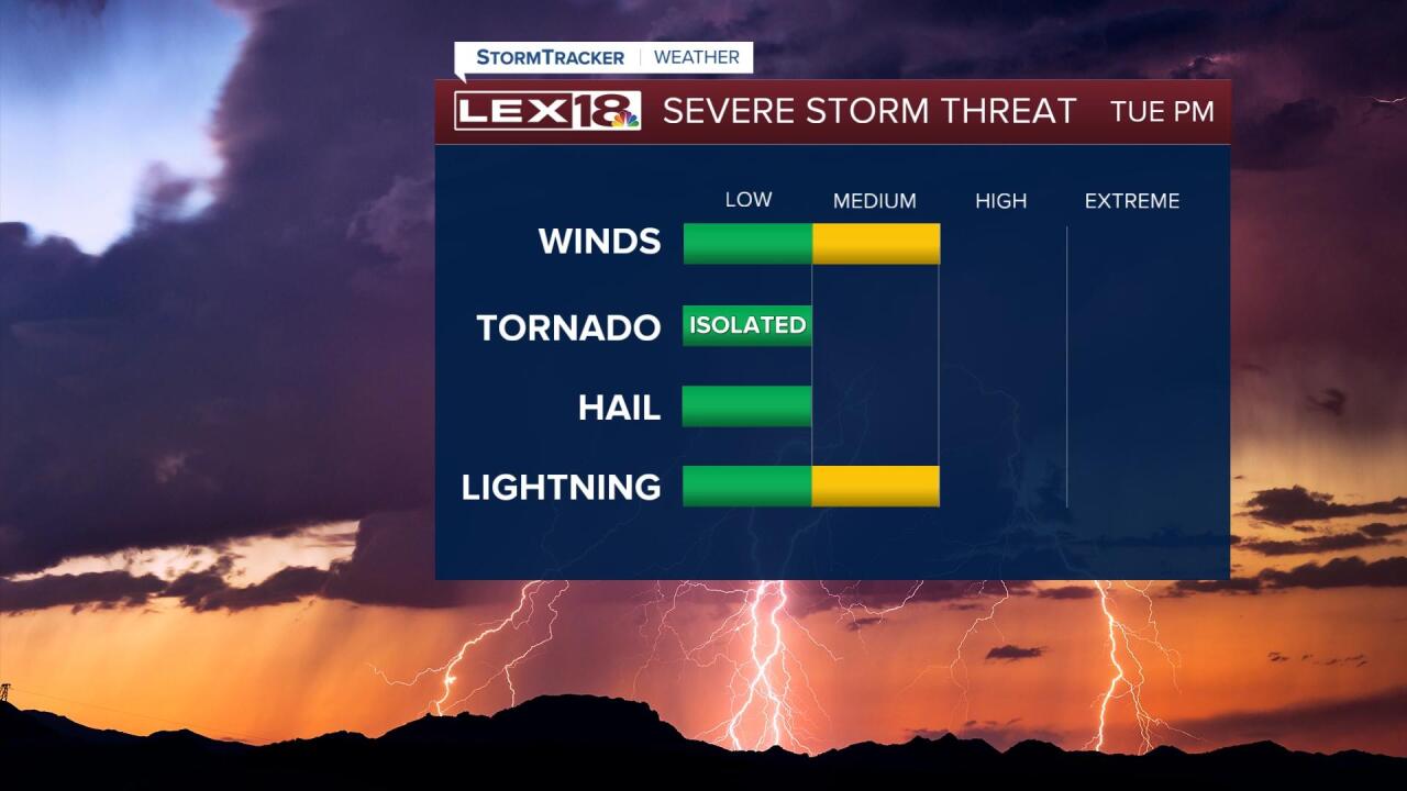
Rounds of active weather fire up Tuesday with a limited morning round of scattered showers and t-showers diminishing and a late morning, early afternoon break following. We'll see a better chance for strong to severe storms later in the day as a cold front sweeps east. A slight to marginal risk for severe storms is in effect Tuesday, our highest threat will be damaging wind gusts starting late afternoon in the Bluegrass and pushing east with the front later in the evening eventually wrapping up after midnight. It will be a balmy day! A gusty (25 to 35 mph) southwest wind will drive highs into the upper 70s to low 80s Tuesday. Wednesday looks mostly cloudy and cooler with highs in the upper 60s. More active weather is in the works heading into Derby weekend.


Posted
and last updated
Copyright 2022 Scripps Media, Inc. All rights reserved. This material may not be published, broadcast, rewritten, or redistributed.


