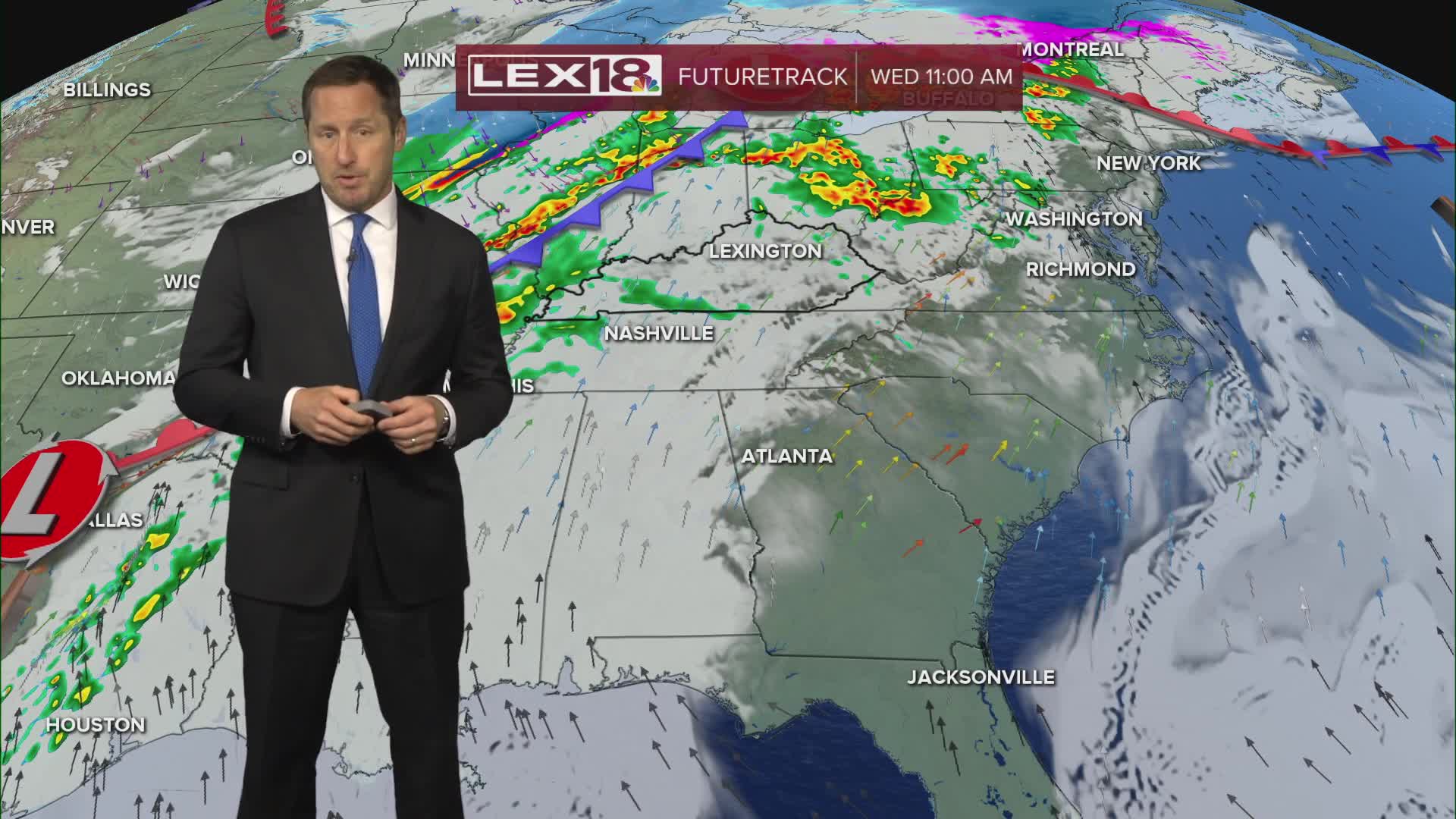


Stay weather aware Wednesday; we have an active day inbound! Rounds of showers and storms will develop, some in the morning and more numerous later in the day. A tornado watch is in effect until noon for southern Indiana but it does include of few of our west/northwest counties closer to the river. The line that fires in the afternoon/evening is more likely to be strong to severe. Watch for damaging wind, hail, heavy rain and isolated tornadoes from roughly 3 PM through 9 PM across the area. We're also in for a very warm and windy day with near record highs soaring to the mid to upper 70s in the Bluegrass and closer to 80° southeast. A wind advisory is in effect for a gusty (35 to 45 mph) southwest wind. Behind the front, much colder air crashes in with high tanking in the upper 40s to low 50s Thursday.
