

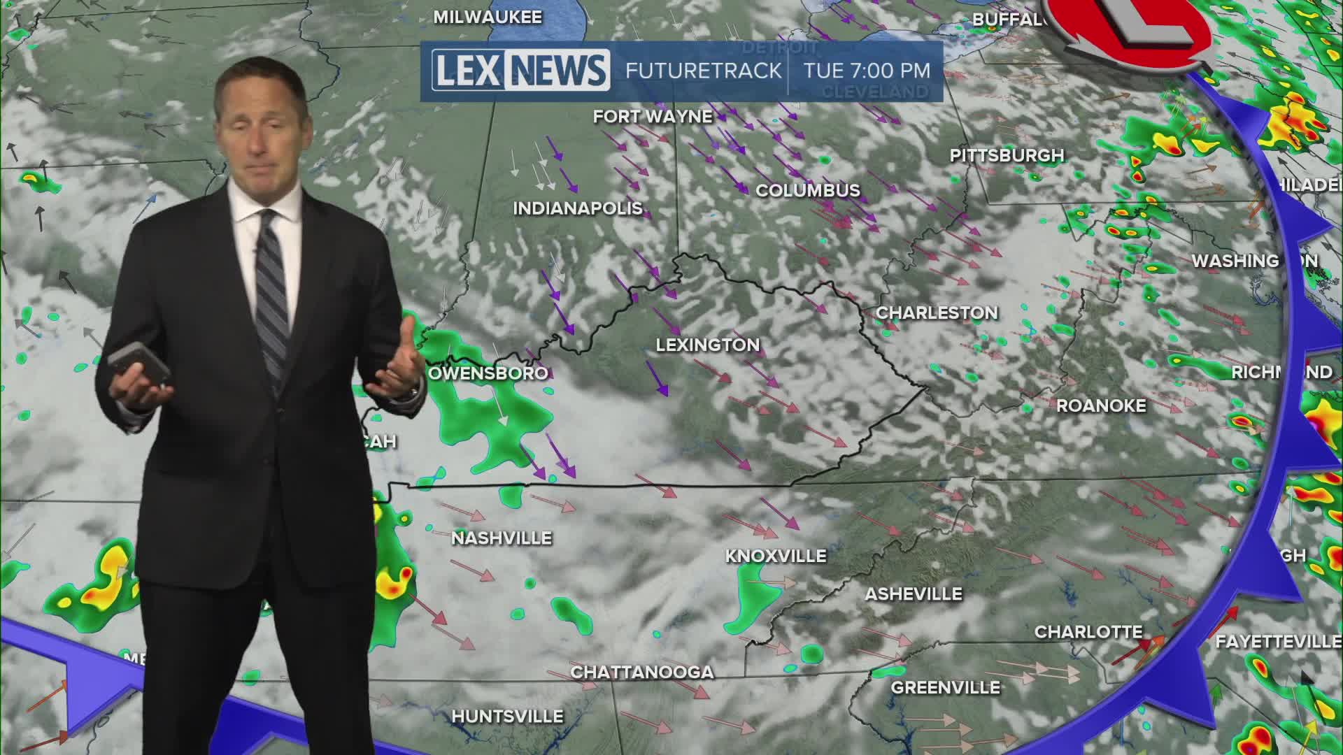


We're in for a hot and muggy Monday with highs in the upper 80s and the heat index well into the 90s. A heat advisory is in effect for western Kentucky. Watch for a round of showers and storms diving south late Monday evening into early Tuesday morning. We're under a slight to marginal risk for severe storms with the primary threat damaging wind. We'll see a gradual weakening trend as it tracks south and washes out. A few showers and storms will linger Tuesday morning before high pressure takes over and provided plenty of sunshine and seasonable highs in the mid to upper 80s through midweek.
Strong to Severe Storms Possible Monday Night
Less Hot and Humid Midweek
