

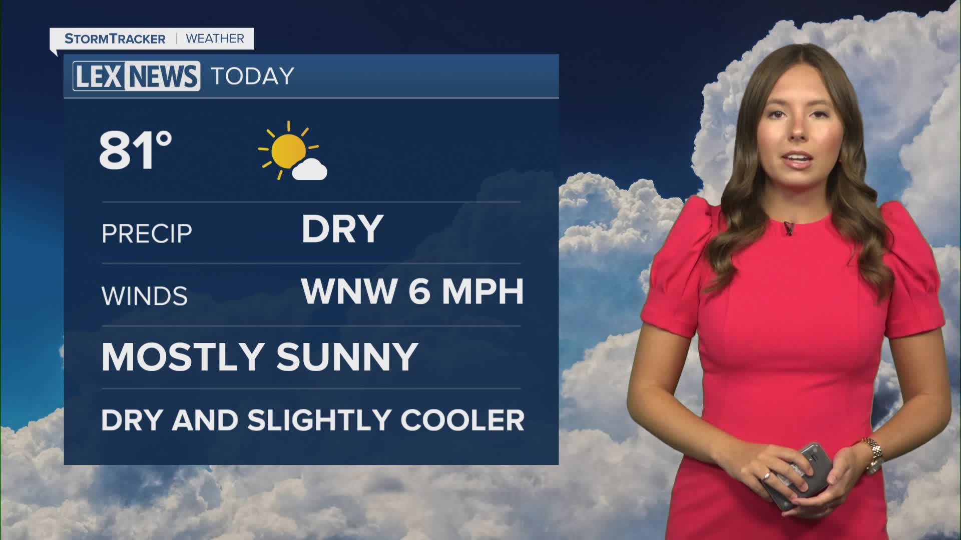


After an active Saturday that brought strong to severe storms to parts of Central and Eastern Kentucky, we are finally drying things out and enjoying a much quieter end to the weekend. Cooler temperatures and noticeably lower humidity have moved in behind Saturday’s cold front, setting us up for a beautiful stretch of weather.
Fog gives way to plenty of sunshine
We started Sunday with another round of patchy dense fog, especially across parts of Southern and Eastern Kentucky and in the typical river valleys. That fog should quickly burn off through the mid-morning hours.
Temperatures also started on the cooler side, generally in the upper 50s and low 60s. The biggest difference you may notice is the humidity. Dew points have fallen into the 50s and low 60s, giving us a much drier and more comfortable feel.
Once the fog clears, expect plenty of sunshine with afternoon highs reaching the low to mid 80s.
Beautiful start to the workweek
The nice weather isn't going anywhere just yet.
High pressure will remain in control through Monday and Tuesday, keeping us dry with plenty of sunshine. Morning temperatures will generally fall into the upper 50s and low 60s, while afternoon highs climb into the low to mid 80s.
Humidity will remain low as well, making for a very comfortable stretch of late-August weather.
Rain chances return Wednesday
Changes begin arriving by Wednesday as high pressure moves east and a warm front lifts toward Central Kentucky.
Temperatures will warm back into the upper 80s as moisture increases across the area. Isolated to scattered showers and thunderstorms will become possible Wednesday afternoon and evening.
A cold front will then move through the Ohio Valley Thursday, bringing another chance for showers and thunderstorms Thursday into Friday. A few storms could become stronger, but widespread severe weather is not expected at this time.
Drier weather returns for the weekend
Once the cold front moves through, drier air should begin working back into the region.
That should help lower our rain chances heading into the weekend. Temperatures will remain seasonable, with afternoon highs generally staying in the upper 80s.
