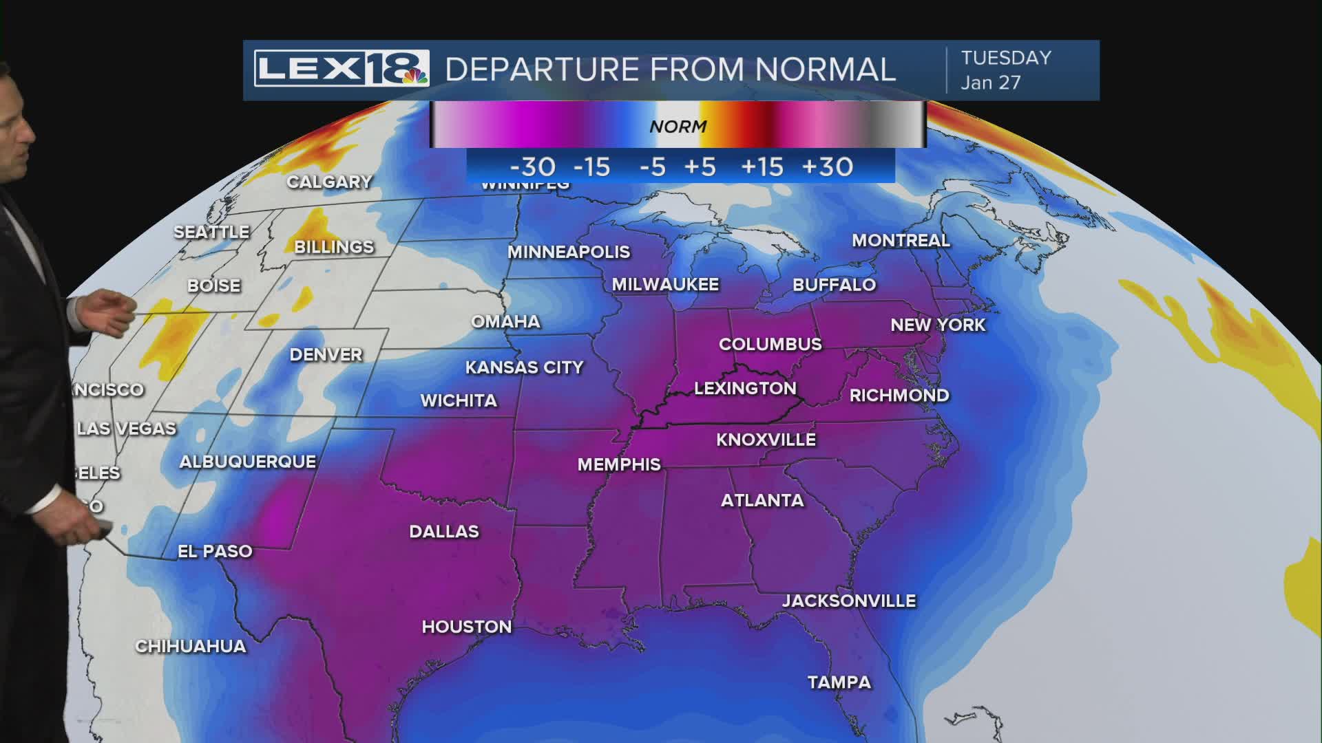


The deep freeze continues Tuesday with highs in the mid 20s in the Bluegrass and closer to 30° southeast. We'll see increasing clouds as another cold front approaches. This time, moisture is limited so expect flurries and isolated snow showers through the afternoon and evening. A gusty SW/W wind will keep a wicked, subzero wind chill going. That wind could also bring down ice laden branches (especially southeast) that could lead to additional power outages. A cold weather advisory remains in effect. Behind the front clouds break Wednesday but colder air will keep flowing, highs will struggle to hit 20° and with a continued N/NW wind we'll see teens Thursday through Saturday with near record lows below zero.
