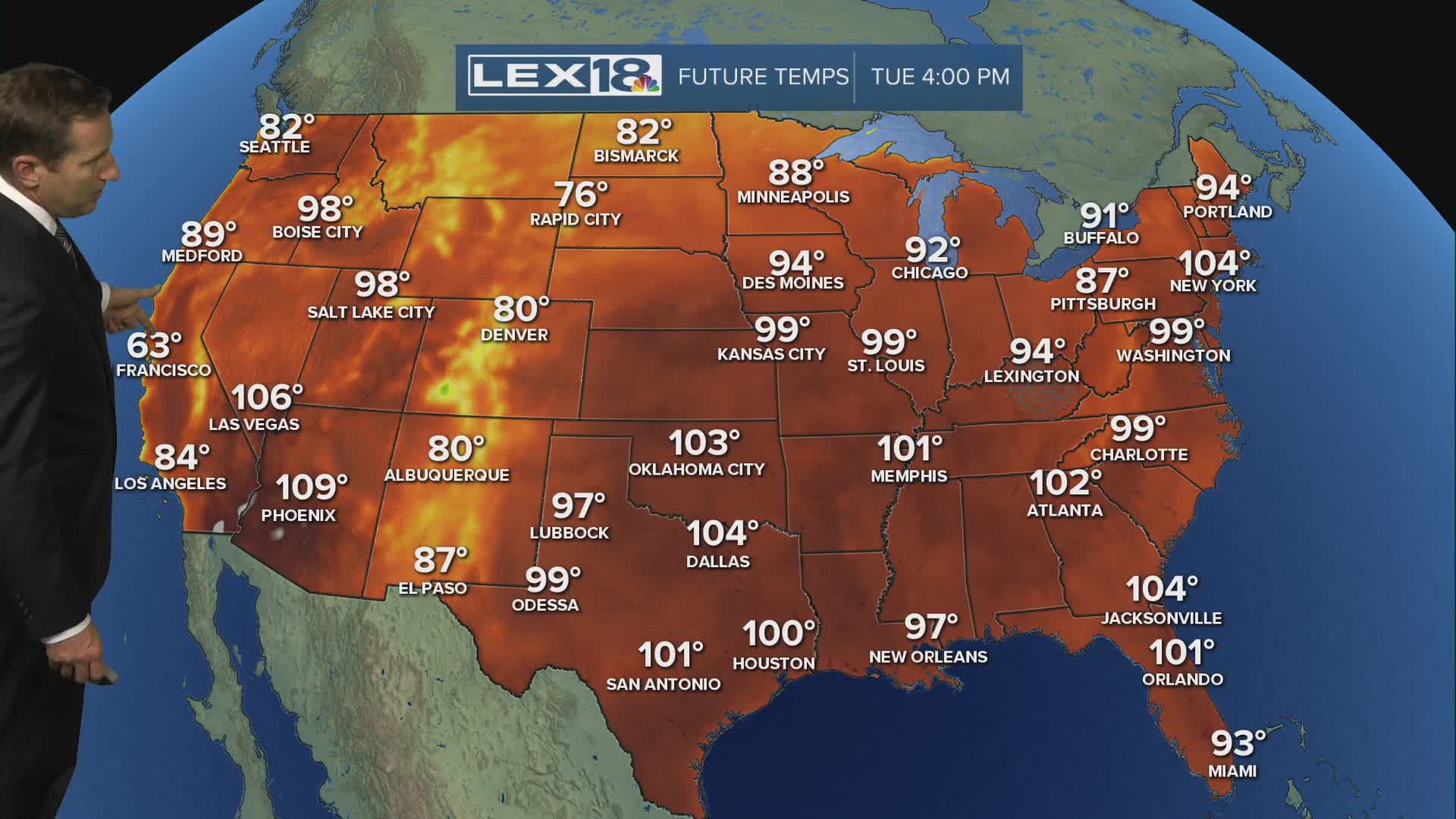


The heat wave peaks with highs staying in the low to mid 90s Tuesday and Wednesday and the heat index breaking triple digits. A heat advisory remains in effect until Wednesday. The cold front that will finally break it drops south Thursday. After isolated pm showers and storms Tuesday to a few firing Wednesday afternoon, more widespread coverage will develop Wednesday night into Thursday. Watch for strong storms capable of gusty wind and heavy rain. After the front passes, we'll enjoy cooler highs in the low to mid 80s, lower humidity and a very nice weekend to begin August.
