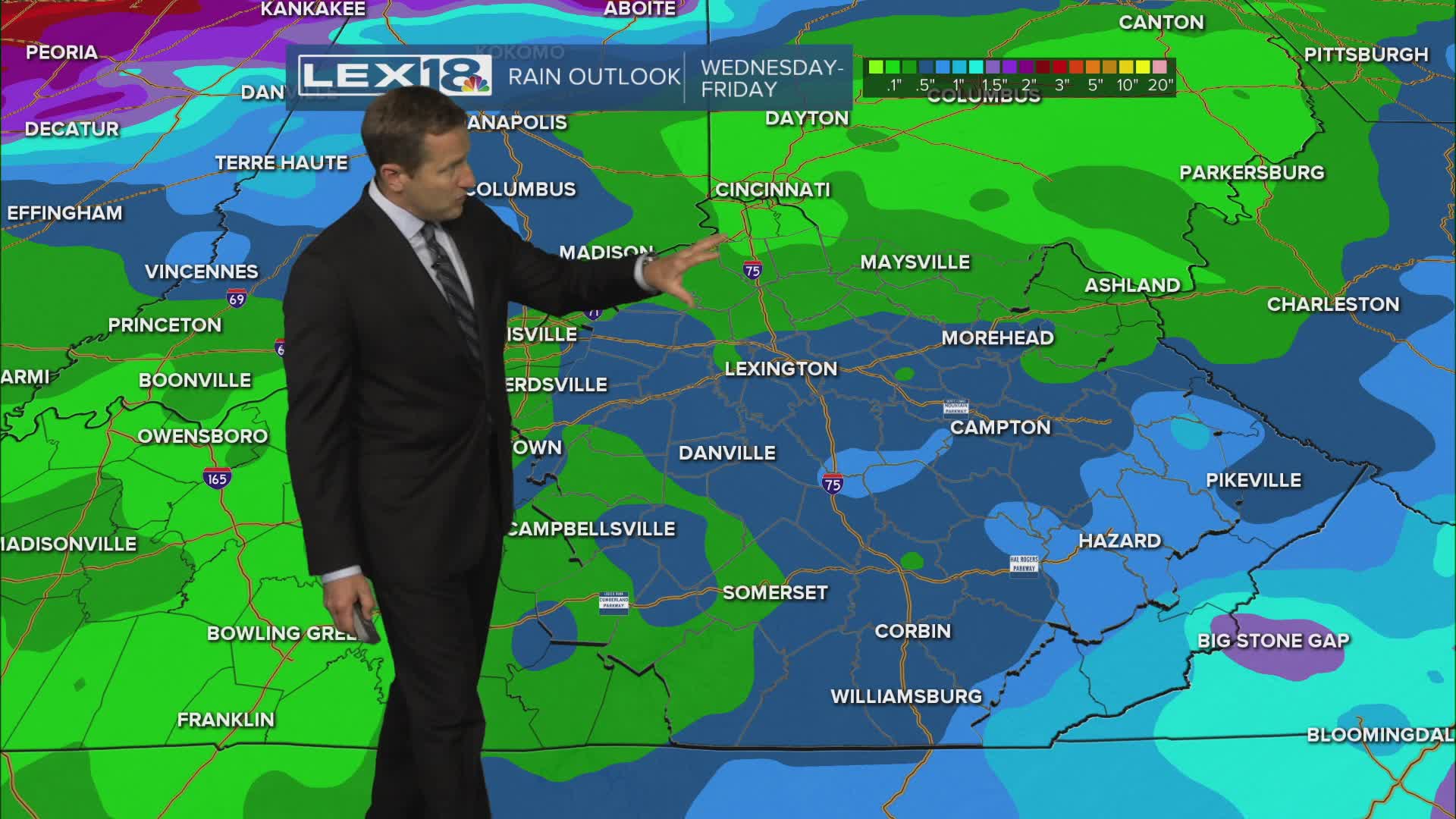


This is the last day of our prolonged July heat wave with highs soaring to the low to mid 90s and the heat index in the triple digits Wednesday. A heat advisory remains in effect. Isolated afternoon showers and storms are possible Wednesday, but scattered showers and storms are more likely Wednesday night into Thursday as low pressure drags a cold front east. Severe storms aren't expected but watch for gusty wind and heavy rain. This will mark the end of the hot and steamy conditions we've been simmering in since last week. Expect near normal highs in the upper 80s Thursday with cooler, below normal highs in the low to mid 80s as we usher in August and head into the weekend.
The Last Day of the Heat Wave
Scattered Showers and Storms Thursday, Cooler this Weekend
