

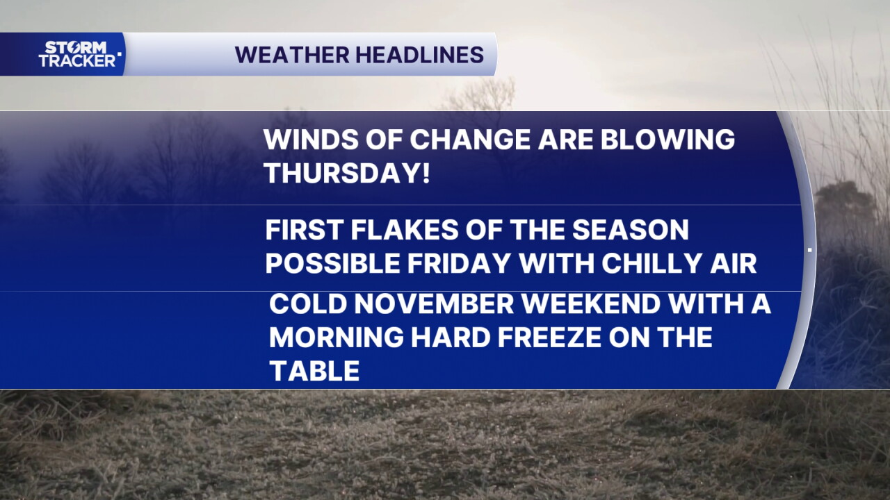


We've enjoyed a great run of pleasant November weather the last few days across Central and Eastern Kentucky with daily highs well into the 60s but Thursday will be transition day. After a cold front blew through with some gusty showers and thunderstorms late Thursday evening, winds have shifted to the northwest, opening the door for the cooler air to return.
Look for a blustery Thursday with northwest winds at 10 to 15 miles per hour and occasional gusts 25 to 30 miles per hour. Any breaks in the cloud cover that allows some sunshine through will create some instability and help fuel a few scattered showers at times. Temperatures will be much cooler compared to the last few days with afternoon highs only into the low to mid-50s.
The core of the coldest air will arrive Friday as another trough rotates around an upper level low to our northwest. With temperatures struggling to reach the low to mid-40s for afternoon highs, any precipitation that develops could contain a few snowflakes to go along with the rain showers so we could see our first snow showers of the season. The most favorable area for that will be the highest elevations of southeast Kentucky with most spots seeing some flakes in the air and no issues as the ground is way too warm to create any travel issues.
Heading into the weekend the cold will be the big story as we see some of the coldest air of the season along with a hard freeze potential. With a mix of clouds and sunshine, afternoon highs will stick in the mid-40s with early morning lows dropping all the way into the mid-20s. If you are heading to Kentucky and Florida at Kroger Field on Saturday night, you'll definitely want to dress for the cold as temperatures will be dropping through the 30s during the game.
Our weather looks quiet into early next week with slowly moderating temperatures as sunshine returns and afternoon highs climb back through the 50s into the middle of next week.
 Facebook
 TikTok
 YouTube
 Instagram
 Threads
 X
