


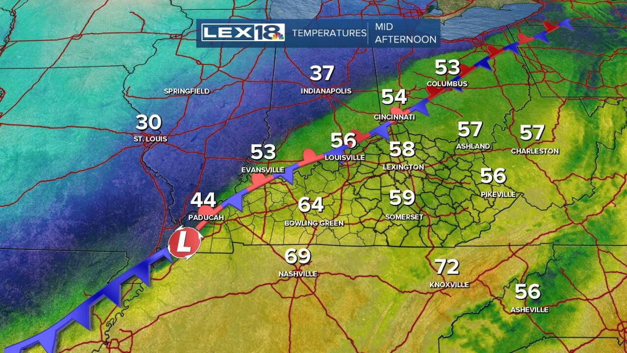
The threat for severe storms will continue into this evening, but the trend overall looks to have diminished a bit, but it's not eliminated. The strong area of low pressure and its attending fronts continue to straddle the Ohio River, but will begin to accelerate rapidly eastward as we head into this evening. The temperature contrast is amazing with 20's and 30's north of the front and 60's and 70's to the south. It's the steady rain we've seen most of the day where temperatures are in the 50's where the severe threat looks to be a bit diminished. The prolonged rain has done a good job at stabilizing the lowest levels of the atmosphere, so it's possibility that the strongest winds will remain just above the surface.
However, there is enough shear with the approaching squall line that a small bump in temperatures ahead of it around 7:00 can overcome the surface stability and mix down some of those stronger winds.

The greatest severe weather risk continues to be a sporadic damaging wind gust to about 60 mph. The winds will certainly be that strong several hundred feet up, but it remains uncertain whether that can make it to the ground, which is why the percentage chance remains low.

Also, given all the shear available, if a storm is able to tap it, and remember, that's an if, then a very minimal tornado risk does exist. This is why the threat does remain, but it's conditional upon the shear overcoming the stability.

By 9:00, the squall line will continue racing through eastern Kentucky with strong wind threat ending shortly thereafter. The cold air will be pouring in behind the front.

Just remember to Stay Weather Aware through this evening and keep an information source like the StormTracker Weather app handy.
