

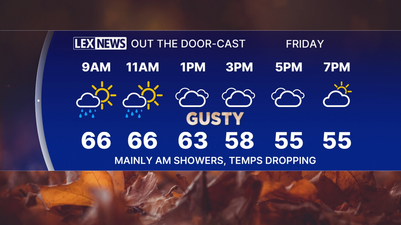
A cold front tracks east Friday, ramping up cloud cover, sparking scattered showers and dropping the temperature through the afternoon. The coldest air of the season is inbound this weekend. Expect mainly morning showers in the Bluegrass with showers hanging on later in the day southeast. A gusty west/northwest wind will send morning highs in the upper 60s falling into the 50s in the afternoon. Sunshine returns Saturday but highs will struggle to reach the mid to upper 50s, ending this week's heat wave. Clear skies and light wind Sunday morning will set us up for our first frosty morning as lows drop to the mid to upper 30s. We'll warm up quickly with highs back in the 70s next week.
Windy and Cooler Friday, Showers Linger
Fall Finally Shows Up this Weekend
weather


Posted
 Facebook
  TikTok
  YouTube
 Instagram
 Threads
 X
XCopyright 2026 Scripps Media, Inc. All rights reserved. This material may not be published, broadcast, rewritten, or redistributed.
