


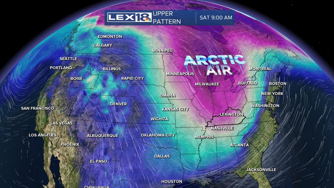
The calendar says March, and it will feel like it the next couple of days with highs in the 50s. However, a major blast of Arctic air will be plunging into the U.S. Friday and impact our weather in a significant way Friday night and into the weekend. So don't let Friday's warmth lull you into a false sense of security.
Here's what we're confident about as we prepare for this winter shock. Snow is coming. With the attached snowfall map it shows a broad swath of snow going all the way from the Gulf Coast states to the Great Lakes and from the Rockies to the Appalachians. For us, the transition to snow should happen quickly Friday evening and Friday night.

We'll be watching a wave of low pressure develop along the Arctic front. It's the speed of that development that will determine how much snow ends up in your backyard. If it develops quickly Friday, snowfall amounts will be higher. If it's slower, the amounts will be less. That's why our confidence remains lower on exact amounts of snow and we'll have to wait until Thursday for putting our exact numbers out. With that, be prepared for travel impacts Friday night and into at least part of Saturday.

We're also confident that it will become bitterly cold and do so in a hurry Friday evening. Saturday likely does not get above freezing. Wind chills have the potential to be below zero. Depending on the snow depth Sunday morning, sub-zero cold is also not beyond the realm of possibility. The record for Lexington is 4 on Sunday morning. We'll probably be short of that, but it's in the conversation.

The bottom line is stay aware of upcoming forecasts as we get closer to the event and can focus in on more details to get you ready for this late-season winter event.
