



We are starting off our Sunday on another clear and warm note across Central and Eastern Kentucky. Temperatures are already in the upper 60s and low 70s for many of us this morning, and another sunny and hot afternoon is ahead.
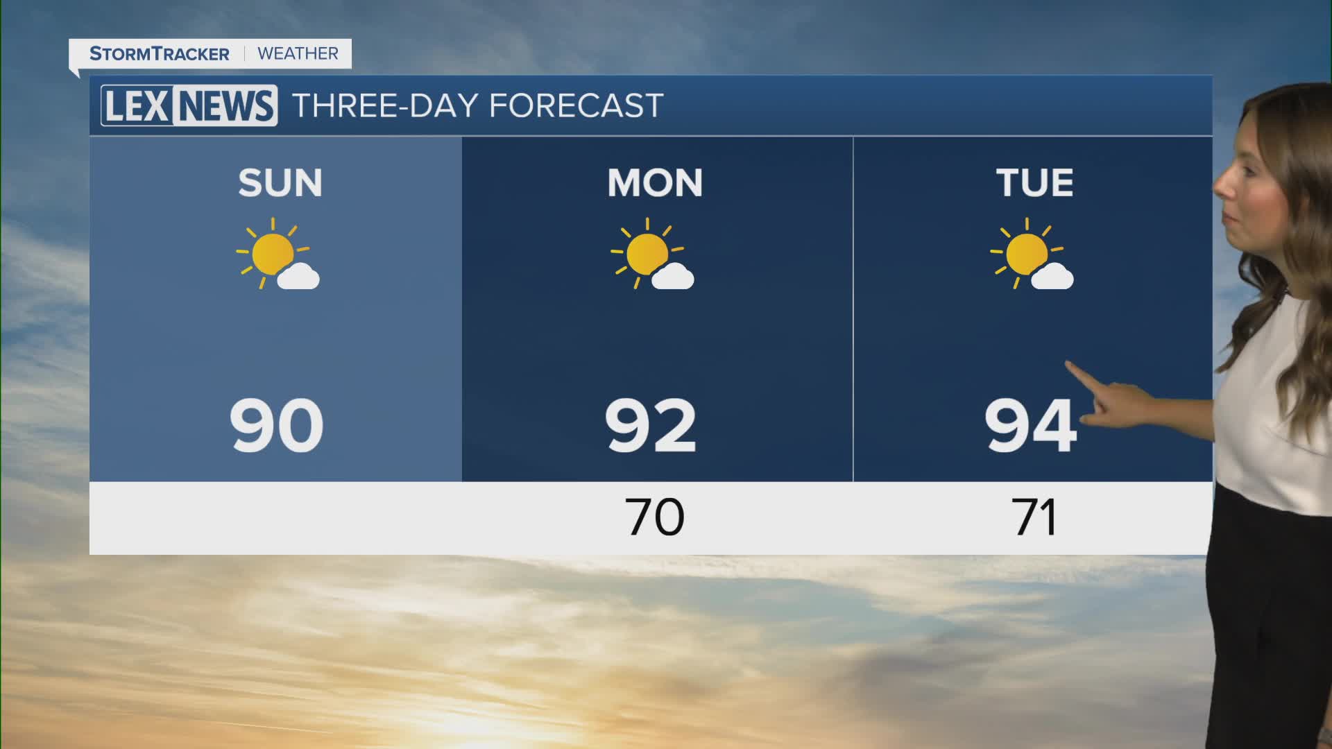
The heat will become the main weather story as we head into the new workweek, with several consecutive days in the 90s and heat index values potentially reaching or exceeding 100 degrees.
Another sunny and hot Sunday
We will see plenty of sunshine throughout the day, although a few fair-weather clouds could develop during the afternoon.
Temperatures will quickly warm into the upper 80s, with some locations potentially making a run toward 90 degrees. Humidity will be noticeable, but slightly drier air mixing down during the afternoon should help keep heat index values generally in the mid to upper 90s.
It could also turn a little breezy at times this afternoon, with a few wind gusts around 20 mph possible.
A warm night ahead
Any clouds that develop this afternoon should fade as we head through the evening, leaving us with mostly clear skies overnight.
Unlike some of the cooler nights we experienced last week, we won't get much relief from the warmth tonight. Temperatures will only fall to around 70 degrees for most of the area by early Monday morning.
The heat cranks up this week
Monday will bring another mostly sunny and dry day, with temperatures climbing into the upper 80s and low 90s. From there, the heat will continue to build through the middle of the week.
Afternoon highs will climb solidly into the low 90s, with some locations potentially reaching the mid 90s. Areas farther west and south could experience some of the hottest temperatures, while parts of the Bluegrass may run a little cooler.
Several days of heat bring growing concerns
It won't just be how hot we get during one afternoon. The duration of the heat will also be important.
We are looking at several consecutive days with temperatures in the 90s, while overnight lows remain around 70 degrees or warmer. That means there will be limited relief from the heat, even during the nighttime and early morning hours.
Anyone spending extended periods outside should make sure to stay hydrated and take frequent breaks in air conditioning or shade. Heat-related concerns will become increasingly important through the middle of the week, especially for anyone without access to effective cooling.
Watching for late-week storm chances
The hot and mostly dry pattern should continue through at least Thursday before we potentially see some changes heading into Friday and next weekend.
A weak frontal boundary could move into the region and bring isolated to scattered showers and thunderstorms Friday and Saturday. Rain chances currently sit around 30%, but there is still quite a bit of uncertainty surrounding exactly how widespread those storms will become.
For now, the heat remains the main weather story, and we'll continue to fine-tune those late-week rain chances over the next several days.
